Storm #2 Arrives Tonight-Leaves Tomorrow.
Cold Front Arrives In SE NM Around Midnight.
Storm #2 is located in Central Arizona this afternoon, and will swing across New Mexico tonight into tomorrow morning. This storm is somewhat wetter than it's predecessor that swept across the state on Tuesday...but is fairly starved for moisture at the mid-levels of the atmosphere.
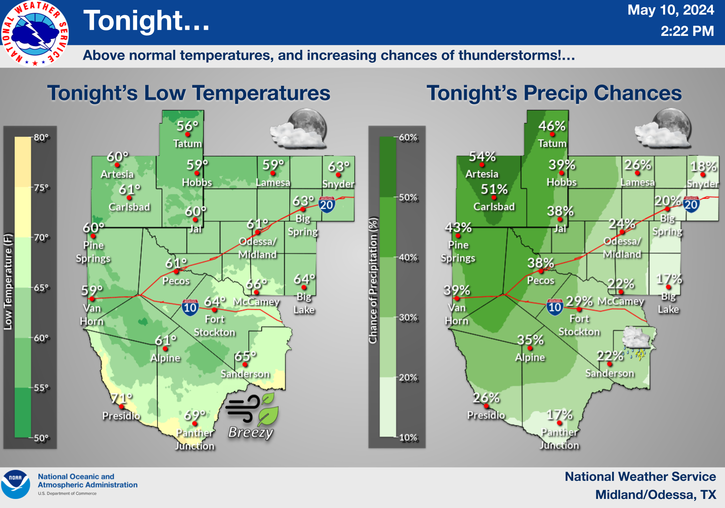
Low-level southeasterly upslope flow from the Gulf of Mexico, has worked it's way into West Texas today. Some of this moisture will back westward tonight into SE NM, and interact with the approaching cold front. This will produce a few scattered rain showers, and thunderstorms across parts of SE NM and W TX, late tonight and into early tomorrow morning. A few of these stronger t-storms could produce some small hail and brief heavy rain, especially from Lea County eastward into W TX.
Colder air will overspread SE NM after midnight into tomorrow. A few light rain showers will linger across the area tomorrow morning, perhaps mixed in with a few light snow showers across the higher elevations of the Guadalupe, Sacramento, and Capitan Mountains. Significant snowfall totals are anticipated at this time.
As the cold front moves though the area late tonight, gusty northerly to northwesterly winds will develop. Sustained speeds of 20-30 mph with higher gusts, are anticipated across the area from around midnight into tomorrow morning. It will definitely feel more fall-like tomorrow.
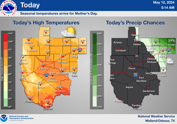
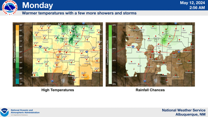
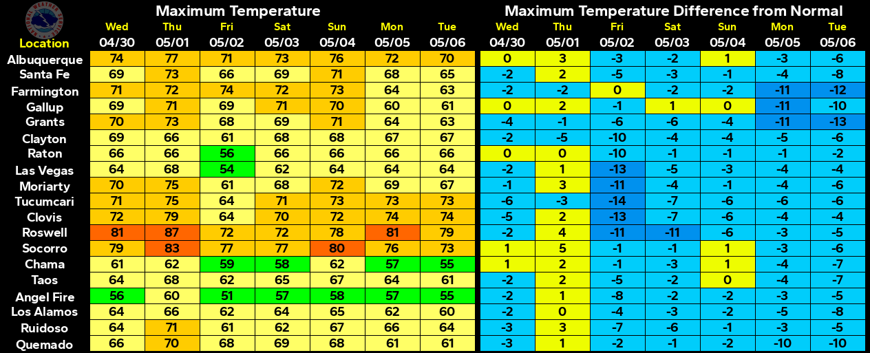
Our high temps at the lower elevations of SE NM, are forecast to only climb up into the mid-upper 50's tomorrow. A few spots might see highs near 60. The first area wide freeze is likely Saturday morning with overnight lows dipping down into the 20's to near 30. The colder mountain valley locations near Cloudcroft and Rudioso will likely see overnight lows dipping down into the low-mid teens Saturday morning.
The Truth Is Stranger Than Fiction!






Comments
Post a Comment
Your comments, questions, and feedback on this post/web page are welcome.