Next Major Storm Due Wednesday.
Warm Windy Weather Continues.
March started off fairly tranquil this year in southeastern New Mexico, but it appears that the Lion will roar as it ends the middle of this upcoming week. You remember the old saying right: "March In Like A Lion...Out Like A Lamb", well this year it appears that it will be: "March In Like A Lamb...Out Like A Lion".
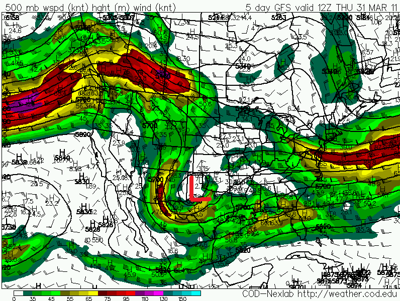
The GFS computer forecast model is the odd man out on forecasting this weeks strong storm that will impact the area by mid week. It continues to forecast a deeper, colder, and wetter storm than the ECMWF, which tracks the storm across the state as more of an open wave than a closed low like the GFS. This mornings run of the Canadian model interestingly enough is trending more towards the GFS solution.
If the GFS forecast model is correct, then we may have a shot at some rain locally by around Wednesday...maybe even a few thunderstorms. This would be welcome news considering how dry it is. I have only recorded .23" of rainfall since January 1st here at my home in Carlsbad, NM. A mix of rain and snow could even impact parts of northeastern and eastern New Mexico Wednesday night into Thursday morning. Its still a little early to get too excited about this just yet so more on this later.
A cold front will sweep across the area Wednesday night bringing much cooler temperatures to the area Thursday. Our highs on Thursday may not get out of the 60's, and our low temperatures Thursday and Friday mornings will be in the 30's. There is a possibility of a freeze across parts of the local area Friday morning.
Meanwhile, we can look forward to a warm and windy day across the area tomorrow. Our afternoon high temperatures are forecast to be in the low-mid 80's Sunday and Monday. Southwesterly winds will increase to around 20-30 mph each afternoon with gusts in the 40-45 mph range.
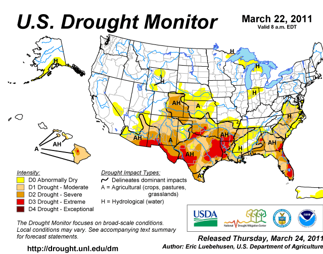
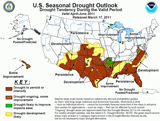
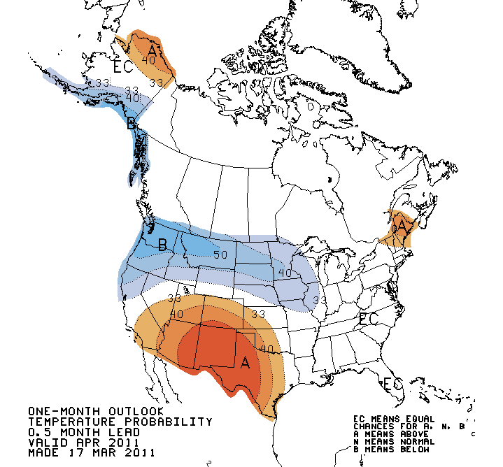
Latest Drought Update.


The Truth Is Stranger Than Fiction!


Comments
Post a Comment
Your comments, questions, and feedback on this post/web page are welcome.