Prolonged High Wind/Blowing Dust/Extreme Fire Weather Event!
A Prolonged High Wind/Blowing Dust/Extreme Fire Weather Event
For SE NM Today Into Sunday!
Its going to be a rough couple of days for us weather-wise here in the Land of Enchantment. A very powerful late winter-like storm was located over southern California early this morning, and is forecast to move slowly eastward towards the state today into tomorrow. It will finally move east of New Mexico by Monday. This storm has dropped snow levels down to around 2,500' MSL in southern California.
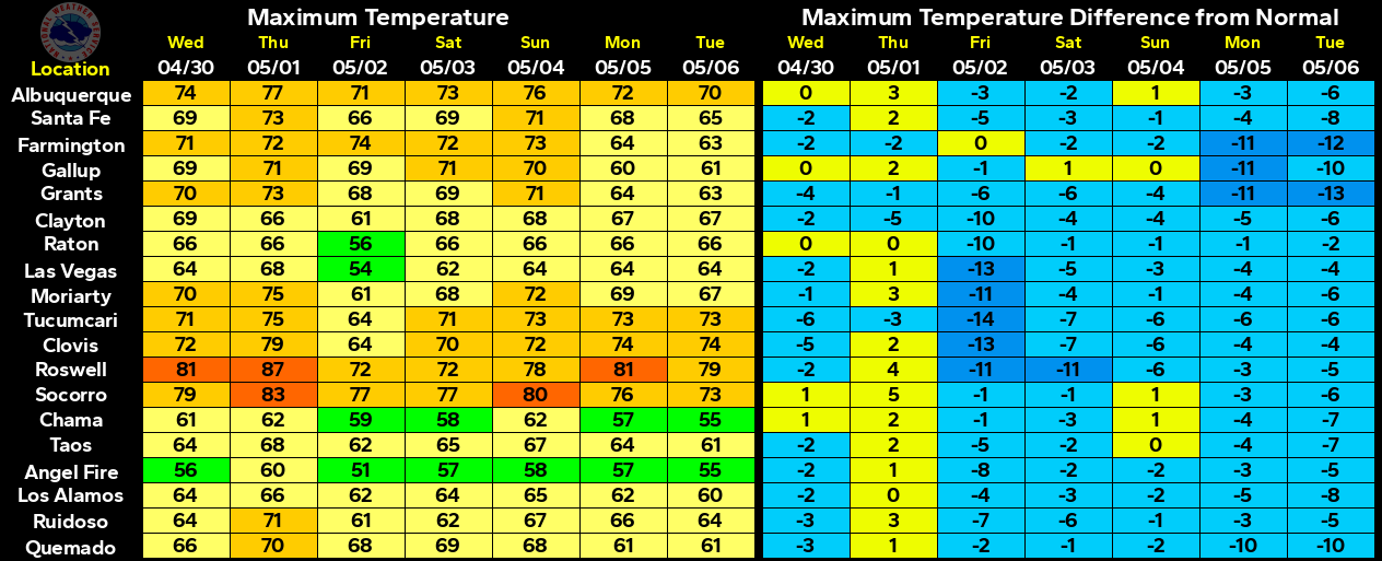
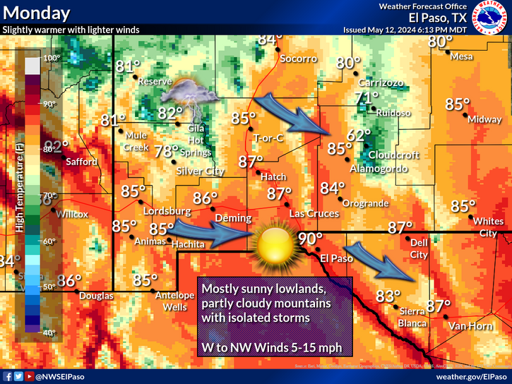
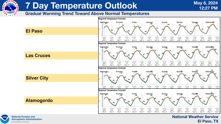
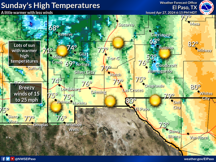
Today will be another hot one for us with our afternoon high temperatures forecast to climb up into the low 90's. A Pacific cold front will sweep across the area tomorrow and colder temperatures are forecast with highs only near 70. Overnight low temperatures will dip down into at least the mid 30's Sunday night into Monday morning. A few spots may experience freezing temps by sunrise Monday morning. This storm may be one to remember and may also end up being one for the record books by the time it is all said and done by Monday.
Prolonged High Wind & Blowing Dust Event!
A Prolonged High Wind, Blowing Dust Event- is on tap for the area beginning around noontime today, and lasting through the night tonight and into Sunday evening. High Wind Watches, High Wind Warnings, and Wind Advisories have been issued for most of New Mexico and parts of West Texas for today into Sunday evening.
Damaging Winds- may occur over parts of the state including the southeastern plains. Southwesterly-westerly winds are forecast to be sustained across many parts of the area at around 35-45 mph with gusts in the 60-65 mph range by noontime today. A few stronger gusts may be experienced over parts of the area especially over and near the mountains and foothills. These high winds are forecast to continue into the overnight hours tonight, and into Sunday evening before abating.
These High Winds Will Have The Potential To Produce Property Damage- Iincluding power lines and other suspended cables being blown down, roof damage, barns and sheds blown down, trees and signs blown down, and farmland sprinkler irrigation equipment being blown away.
A Widespread Blowing Dust Event- is also forecast to occur over most of the area today into Sunday evening. Visibilities will drop down to below one mile at times. Sudden drops in the visibility down to near zero with little to no advanced warning will be possible especially in and near freshly plowed farmlands, fields, lots, construction sites, and other normally dust prone areas.
As if the high winds and blowing dust potential were not bad enough, the fire danger is going to be extreme across the area! A potentially life threatening event is shaping up for the area! There will be the potential for a Regional outbreak of fires today into Sunday. Any fire that may develop will have the potential to rapidly spread and grow in prolonged high winds. Life and property may very well be threatened in these Extremely Critically Dangerous Fire Weather Conditions that are forecast for today into Sunday evening. Area residents are strongly urged to be diligent and aware of the potential dangers from any fire that may break out, and please report any fire in your area to local law enforcement officials.
Please visit these local National Weather Service Office Web Pages for more details concerning this situation-
The Truth Is Stranger Than Fiction!





Comments
Post a Comment
Your comments, questions, and feedback on this post/web page are welcome.