T-Storms This Afternoon Into This Evening.
Click On The Maps To Enlarge Them.
Here's Hoping For Some Much Needed Rain.
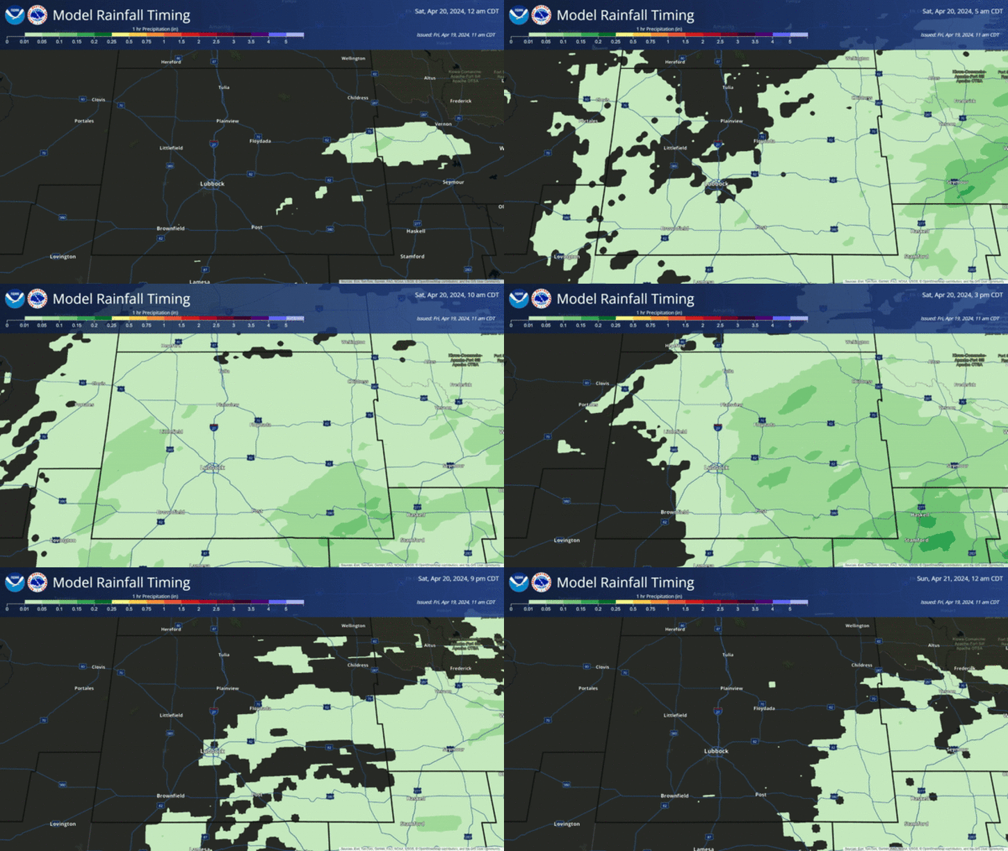
A cold front moved through SE NM overnight. It is forecast to stall near the NM/TX state line today, and then move northward as a warm front late this afternoon and evening. Our low-level moisture was swept out of the area with the frontal passage overnight. A return surge of Gulf of Mexico moisture will push northward into the area this afternoon, as the warm front retreats back to the north.
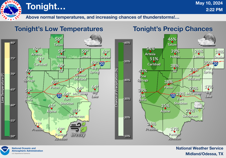
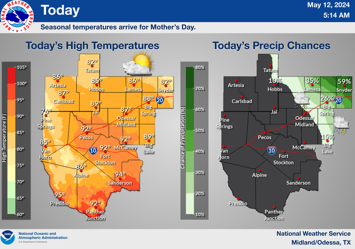
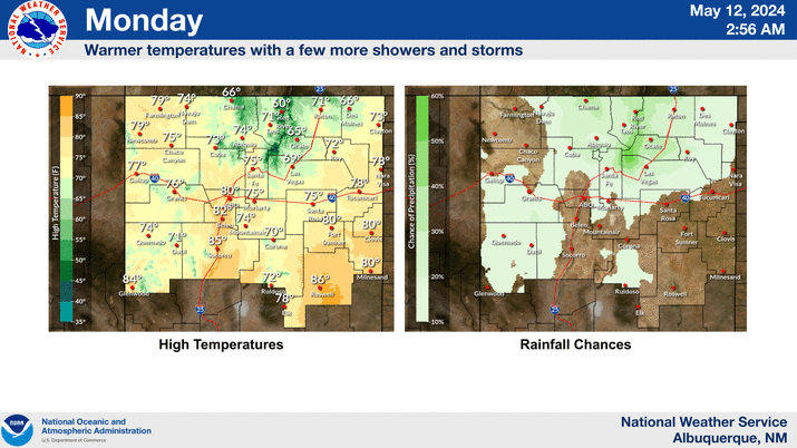
Thunderstorms are still forecast to break out across parts of West Texas and Southeastern New Mexico later this afternoon, and may continue to roam around the area into the evening hours. Most locations across Southeastern New Mexico have a 30%-40% chance for rain today and tonight. Its been a long time since we have seen this.
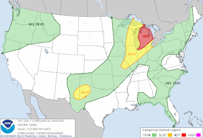
Slight Risk Of Severe Thunderstorms-
Some of these thunderstorms will have the potential to become severe across the local area. They will be capable of producing large hail, damaging thunderstorm wind gusts, frequent deadly cloud to ground lightning, and a few spots may see some locally heavy rainfall. As of this writing this morning, we have a 20% chance for Spotter Activation later this afternoon.
MLCape values of 2,500-3,000 j/kg are forecast to develop across SE NM and parts of W TX later this afternoon. Forecast bulk wind shear values of around 40 knots, and steep mid-level lapse rates of around 8c/km, will combine to help produce a few supercell thunderstorms along the retreating warm front.
After today our old friend the sub-tropical summertime ridge of high pressure is forecast to strengthen across the area. A few high based and mostly dry thunderstorms will form across the area into the end of the work week. These best chances of this happening will be over and near the mountains. These storms will produce more lightning strikes and dry micro-bursts than badly needed rainfall.
Some of us may end up getting a decent rain out of this afternoons and evenings crop of thunderstorms. But don't get your hopes up too high, it will not be widespread enough to end the drought. Hopefully we will get a break by around the 4th of July when our annual summer Monsoon kicks in.
The Truth Is Stranger Than Fiction!






Comments
Post a Comment
Your comments, questions, and feedback on this post/web page are welcome.