Continued Hot & Dry This Week.
Click On The Maps To Enlarge Them.
A few scattered t-storms dotted the southeastern New Mexico landscape overnight. My brother measured .40" from one of these storms earlier this morning at his farm/ranch near Lakewood. This just seems to be the year that I can't get a decent rain here in Carlsbad, I picked up another .01". This has been true for nearly all of us.
Other overnight rainfall totals include .43" at the Queen Raws, .40" at the Hodge Podge Lodge in Ruidoso, .35" 1.8 miles SW of Cloudcroft, .25" at the Smokey Bear Raws near Ruidoso, .22" 4.9 miles NE of Cloudcroft, .13" at the Mayhill Raws, and .13" in Queen. A CoCoRaHS station located 7.6 miles NNW of Roswell measured .12", while .03" was measured at the Roswell Airport.
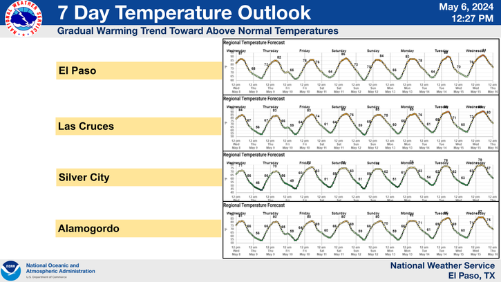
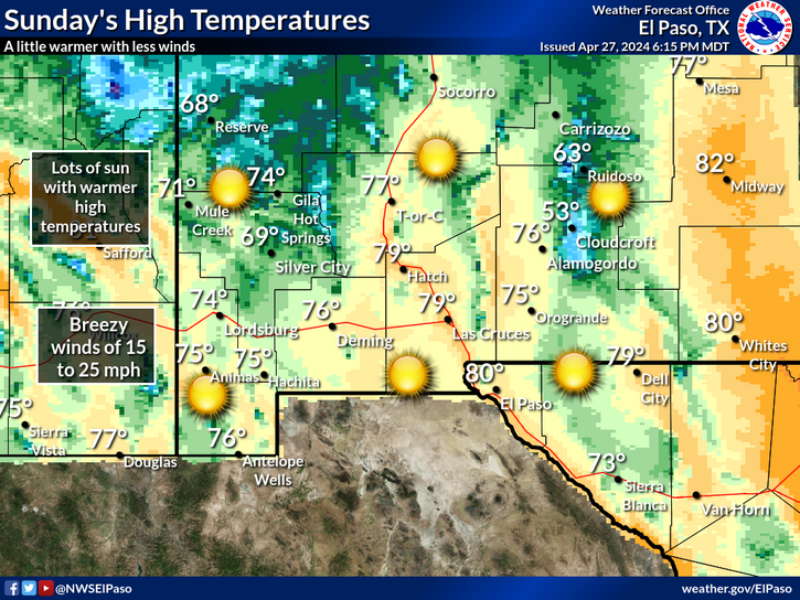
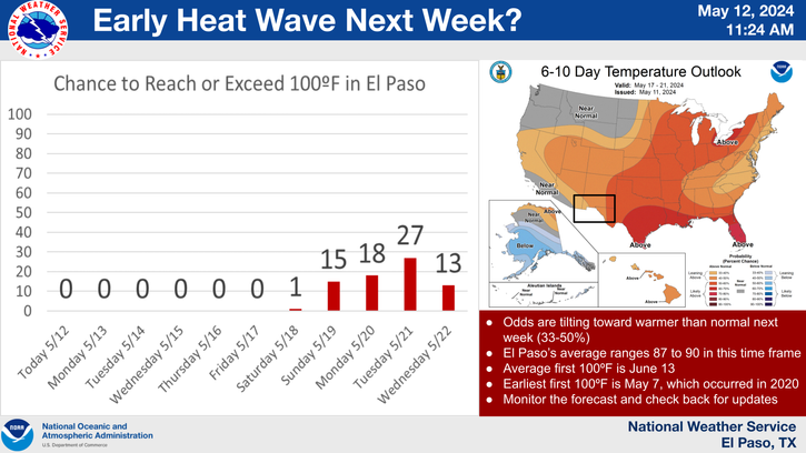
Another hot and continued unmercifully dry week is coming up. Our afternoon high temps will continue to range from near 100 to the low 100's. High pressure will meander around the Four Corners Area, which will effectively keep any chances for a decent widespread rain at bay across the local area.
At 3 PM MDT, Tropical Storm Irene was located about 120 miles ESE of San Juan, Puerto Rico. She was moving off to the WNW at 17 mph, and her forward motion is forecast to slow down over the next couple of days. Irene has sustained winds of 50 mph with gusts near 63 mph. Her central pressure is down to 999 millibars or 29.50". She is forecast to reach Hurricane strength by tomorrow. Irene is forecast to approach southern Florida by the end of this week.
The Truth Is Stranger Than Fiction!


Comments
Post a Comment
Your comments, questions, and feedback on this post/web page are welcome.