Record Heat Today - Tuesday.
Click On The Maps To Enlarge Them.
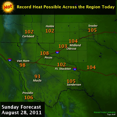
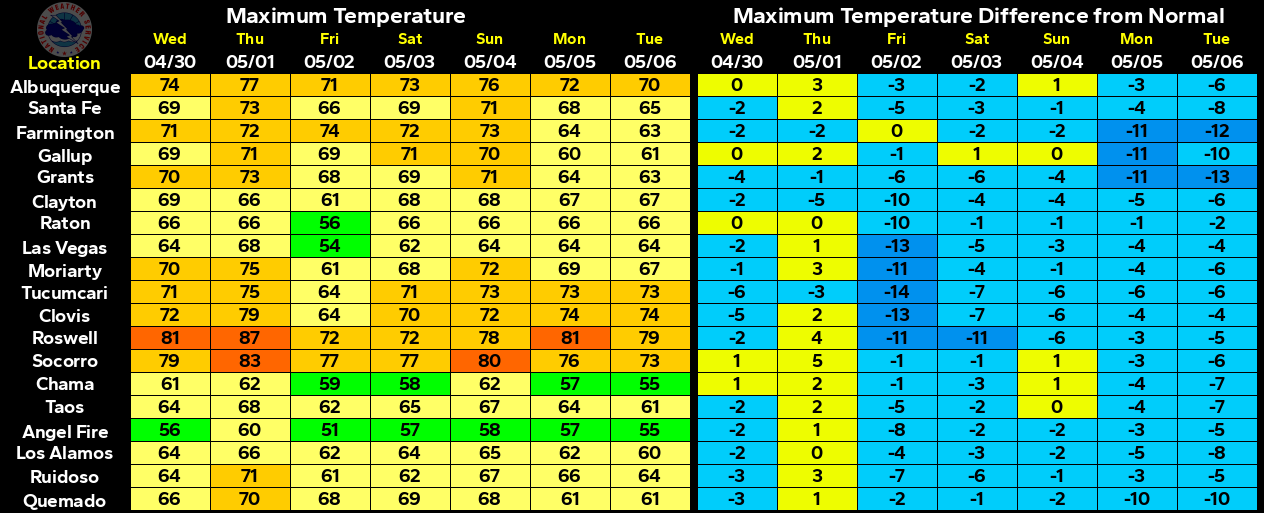
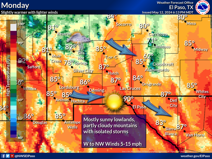
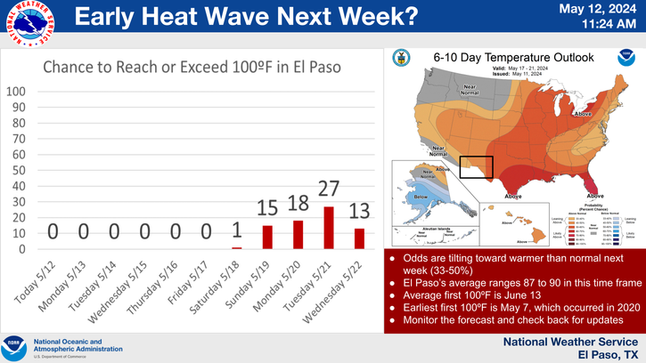
More heat, and continued very dry. This has been the story of our summer. Speaking of records, a few record high temps will be in danger of being tied, or broken across SE NM today into at least Tuesday. This summer has been one of the hottest on record. Take a look at the average daily high temperatures below.
Roswell Airport ASOS-
June 102.0
July 99.5
August 100.6
Artesia Climate-
June 101.5
July 100.3
August 100.8
Carlsbad Airport ASOS
June 103.9
July 100.8
August 101.5
Hobbs Climate-
June 101.0
July 100.8
August 100.9
Tatum Climate-
June 99.5
July 97.3
August 98.5
A couple of days ago I was talking about a cold front slipping southward down the eastern plains, and into the local area tonight or tomorrow. That's not going to happen. The front just will not have enough of a push to get this far south.
The models are forecasting a similar situation next weekend. The jet stream is starting to dig a little further southward across the northern US. So with time these cold fronts will get a little stronger, and will eventually get this far south. Meteorological fall begins Thursday, and like most of you I am ready for a break from the heat.
Looking Ahead To Katia.
NHC Outlook Map.

ECMWF 850 Wind Speed Swatch Forecast.
Valid From 6 PM MDT Aug 28 - 6 PM MDT Sept 6, 2011.
A tropical wave located a couple hundred miles SSE of the Cape Verde Islands this morning, continues to strengthen as it moves westward. It has the potential to become a Tropical Storm, and most likely a Hurricane later this week. If this happens it will be named Katia. Last nights 00Z/6 PM MDT run of the ECMWF model was forecasting it to develop into another Major Hurricane. The forecast map above has it approaching the Bahamas in about 10 days. Time will tell.
The Truth Is Stranger Than Fiction!


Comments
Post a Comment
Your comments, questions, and feedback on this post/web page are welcome.