Weekend Storm?
Valid At 5 PM MST Sat Nov 12, 2011.
Warm & Windy Weekend - Maybe Some Rain Showers.
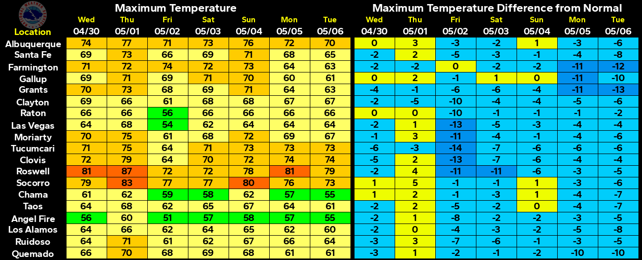
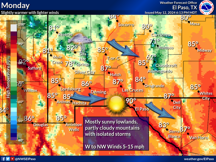
After a chilly start to the morning we should see our temperatures rise up to near the 60-degree mark this afternoon, with a few places in the low 60's. Tomorrow will be about 10-degrees warmer in southeastern New Mexico, with highs near 70 to the low 70's. Saturday will be even warmer with our afternoon highs climbing up into the upper 70's to the low 80's.
The computer models still show that they are struggling somewhat to resolve the outcome of this weekends approaching upper-level storm. Mid and high-level moisture will get pulled northeastward from off of the Baja Region, and into the Desert Southwest this weekend.
A few light rain showers may break out over the area Sunday into Monday. But it still does not appear that we will receive anything significant from this storm. Snow levels are forecast to rise up to around 9,000' MSL with this storm, so only the highest peaks of the Sacramento and Capitan Mountains will see any snow form this system.
Southwesterly winds should also kick up this weekend at generally around 20-30 mph with some gusts over 40 mph. The Guadalupe Mountains may experience a high wind event this weekend from this storm.
Watching Temperature Forecasts Across The Yukon-
The US GFS model continues to bomb the temperatures across the Yukon Territories of Alaska and Northwestern Canada in about 5-8 days. Surface temperatures of -40F to -50F continue to be forecast by this model. This massive pooling of unusually bitterly cold arctic air for this time of the year will eventually come south with time. Just where, and how cold will that airmass be when it enters the US is the question of the day. This potential arctic outbreak will be really interesting to track over the next two weeks.
The Truth Is Stranger Than Fiction!


Comments
Post a Comment
Your comments, questions, and feedback on this post/web page are welcome.