Partly Cloudy & Cool Today.
Today & Tonight.
A blanket of low clouds covers parts of southeastern New Mexico early this morning. Party cloud skies are anticipated across the area today with our afternoon high temperatures climbing up into the mid 50's. Today's readings will be about 10-degrees warmer than yesterday's.
Cold Front Arrives Tuesday Morning.
A closed upper-level low remains parked over western Colorado early this morning. It is forecast to wobble slowly eastward and open up into Tuesday. As this storm departs the area to our north, it will send a cold front southward into southeastern New Mexico tomorrow morning.
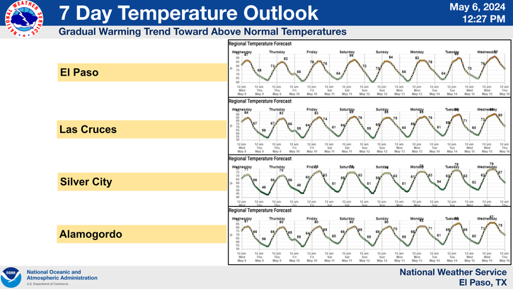
A re-enforcing shot of cool air will accompany a cold front as it moves southward through the area tomorrow morning. Under mostly sunny skies our afternoon highs on Tuesday will range from 50 - 55. Cloudy skies will return on Wednesday with afternoon highs ranging from the mid 40's to near 50.
Will The Cutoff Upper-Level Low
Bring Rain & Snow To SE NM?
An upper-level disturbance is forecast to dive southward along the California coast tomorrow into Wednesday. It is then forecast to form a cutoff upper-level low over the Baja Region by Wednesday night, which will linger over that area into the end of the week.
The models still do not have a very good handle on the track of this cutoff upper-level low. If the low moves too far to the south over northwestern Mexico, then our chances for rain and snow here in southeastern New Mexico will decrease.
For now we have a chance for scattered rain showers Wednesday into Friday. Snow may fall across the higher elevations of the Guadalupe, Sacramento, and Capitan Mountains.
The Truth Is Stranger Than Fiction!
My Web Page Is Best Viewed With Google Chrome.





Great map graphics...explaining why the blah, chilly weather up here. Just so our mountains get some more snow, our dull sun and cool days are worth it. Soon it will be May...
ReplyDelete