Wind & Dust Machine Cranks Up Sunday.


A few severe t-storms broke out across parts of west Texas yesterday afternoon. Several reports of penny to nickel size hail were reported in the Fort Stockton, TX area.
Once again the dryline has backed westward into the Pecos Valley. Dense fog and areas of light drizzle envelope much of the area this morning. This will burn of later this morning.
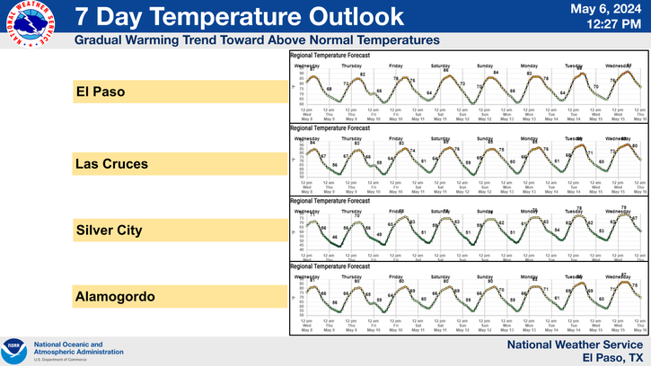
Today will very warm with our afternoon high temperatures climbing up into the upper 80's to the low 90's. A few record high temperatures may be tied or broken.
A cold and potent mid-upper level winter storm continues to dig southward along the California Coast this morning. This storm will cause a variety of weather across New Mexico today into Monday.
Red Flag Warnings cover much of the state today. A High Wind Watch has been issued for much of the state for Sunday. Critically Dangerous Fire Weather Conditions will prevail across the area today and tomorrow.
Wind Advisories are out for today. Southwesterly winds are forecast to increase to 25-35G40-50 mph across parts of SE NM this afternoon. Sunday looks like a very windy day with southwesterly-westerly winds increasing even further with gusts in the 50-55 mph range.
Localized areas of blowing dust will kick up this afternoon over and near those normally dust prone locations such as freshly plowed or open farmlands, fields, lots, and construction sites. It looks like the blowing dust may become more widespread and problematic across parts of the area tomorrow. Sudden drops in the visibility down to zero with little to no advanced warning may occur in some locations.
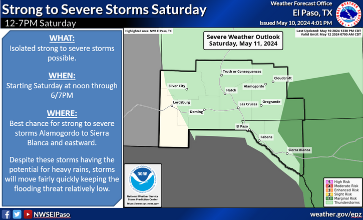
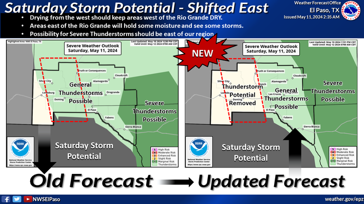
A few severe t-storms may once again forecast to pop up across parts of west Texas this afternoon and evening. But a more widespread threat for severe weather will occur on Sunday.
A strong Pacific cold front will sweep eastward across the area tomorrow evening. Much cooler temperatures will follow in its wake on Monday and Tuesday with highs in the 50's and 60's.
A few light rain showers may dot the southeastern plains Sunday night. The northern areas have a slight chance of seeing a mix of rain or snow Monday night. Snow will fall over the higher elevations of the Sacramento Mountains Sunday into Monday night.
The Truth Is Stranger Than Fiction!
My Web Page Is Best Viewed With Google Chrome.


Comments
Post a Comment
Your comments, questions, and feedback on this post/web page are welcome.