Blistering Heat Continues Today & Friday.
High Temps Wednesday.
Yesterday's highest reported temperature in southeastern New Mexico was 109 at the 8-Mile Draw Raws, which is located northeast of Roswell. Close behind was the 108 recorded at the Paduca Raws, which is located near the WIPP Site. Just across the state line the Pecos River automated station near Orla also recorded a high of 108.
Today's forecast high temperatures range from 103 -106 across the local area. We should be a couple degrees hotter than yesterday's readings. Its possible that we may see a few stations reach or exceed 110. Friday is forecast to be just as hot as today. Saturday's may be a couple of degrees lower with highs generally around 102 - 103. Current forecasts are calling for highs Sunday in the upper 90's to near 100. Its possible that a few of us may tie or break our daily record high temperatures today and Friday.
T-Storms & Cooler This Weekend?
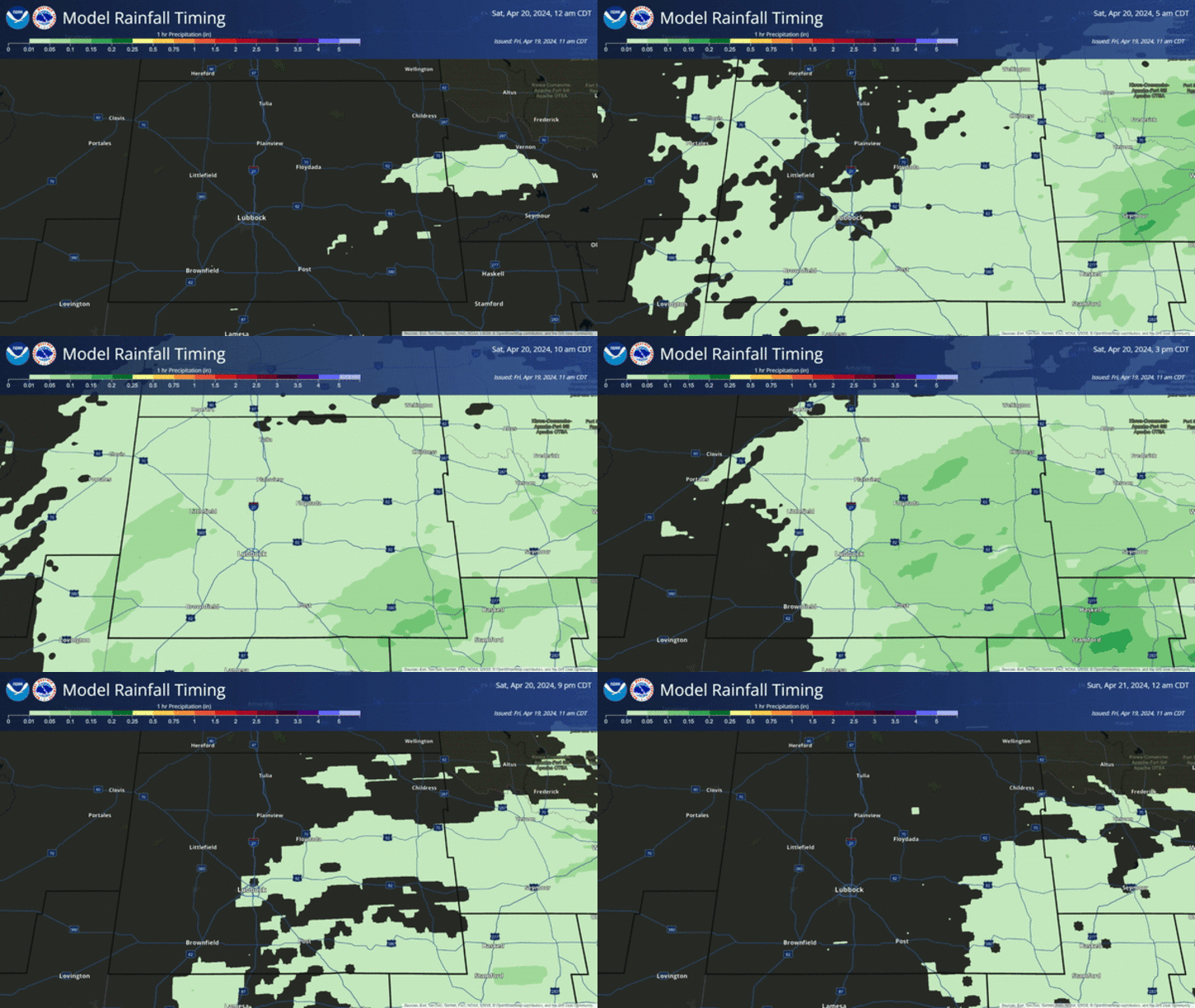
A weak backdoor cold front will move into northeastern and eastern New Mexico Saturday. How far south this front is able to push is questionable at this time. Enough low-level moisture and instability along and behind the front ,will help fire up scattered thunderstorms Saturday afternoon and evening across northeastern and eastern New Mexico.
Record High Temperatures.
Roswell, NM ThreadEx-
Today 105 2011
Friday 105 1944
Artesia Climate-
Today 107 1966+
Friday 107 1930
Carlsbad Climate-
Today 108 1944+
Friday 110 1944
Carlsbad Airport-
Today 105 2011
Friday 105 1959
Hobbs Climate-
Today 104 1998+
Friday 106 1944
Tatum Climate-
Today 104 1935
Friday 104 1935
Temperature data is courtesy of-
-------------------------------------------------------------------
Tropical Depression Five.
Poorly organized Tropical Depression #5 (to become Tropical Storm Ernesto?) was located about 505 miles east of the Windward Islands at 6 AM MDT. TD #5 is clipping along to the west at 21 mph. Maximum sustained winds are 35 mph and the central pressure remains steady at 29.77"/1008 MB.
TD #5 is fighting dry air and wind shear. These factors are inhibiting the storm from strengthening. It may increase enough to reach tropical storm strength sometime Friday. Should this storm hold together and not dissipate then it bears watching by around the middle of next week, as it gets close to entering the Gulf of Mexico, and possibly could strengthen into a Hurricane. First it has to survive its long trip across the Caribbean.
The Truth Is Stranger Than Fiction!
My Web Page Is Best Viewed With Google Chrome.







Comments
Post a Comment
Your comments, questions, and feedback on this post/web page are welcome.