A Little Cooler Today.
Today Into Friday.
Valid At 3 PM MDT Thursday Oct 11, 2012.
Valid At 3 PM MDT Friday Oct 12, 2012.
Valid At Noon MDT Saturday.
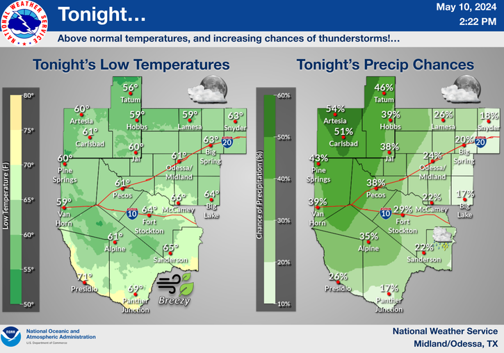
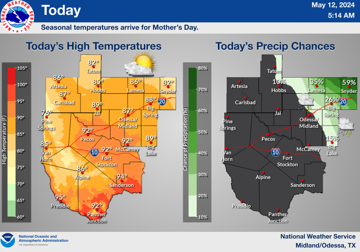
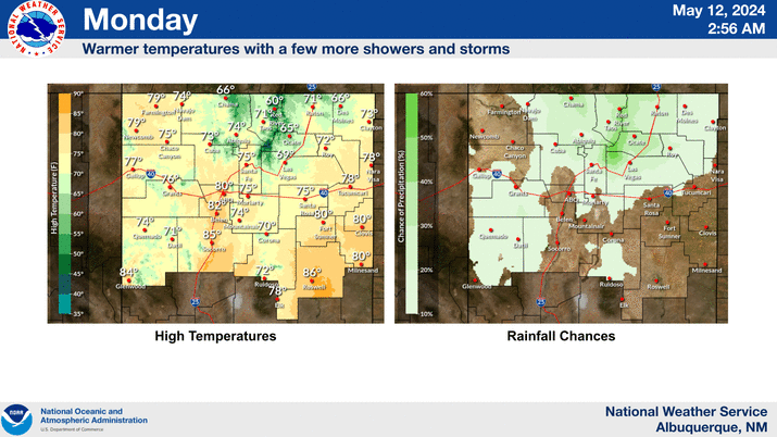
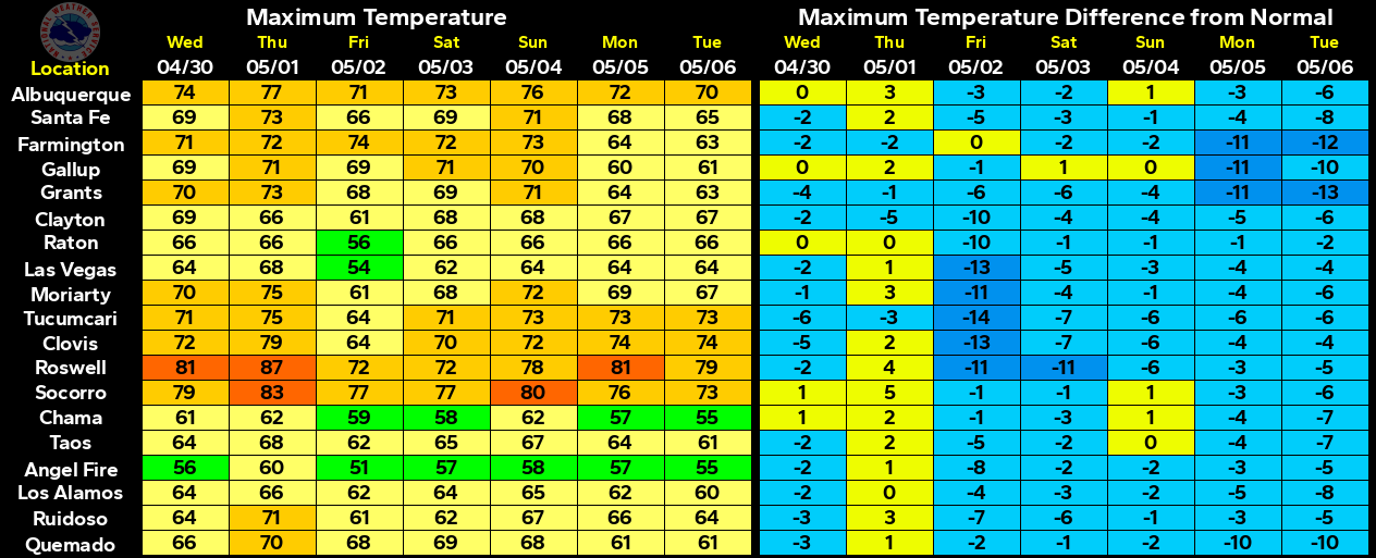
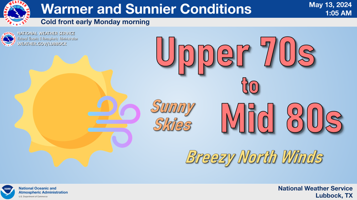
A cold front has been working its way southward through the area early this morning. Cooler air is overspreading the area behind the front. Our high temps this afternoon are forecast to range from near 70 to the mid 70's.
A cutoff upper-level low located just off the central California coast this morning is forecast to move southeastward, and by tomorrow afternoon it will be entering southern California. By Friday afternoon the low will start to shear apart as it lifts northeastward across northern Arizona. By Saturday afternoon it will have opened up and should be located over Nebraska.
As the upper-level storm to our west approaches the area tomorrow and Friday, a dryline is forecast to sharpen up across eastern New Mexico. A Pacific cold front will sweep eastward across the state on Friday.
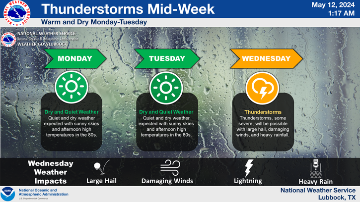
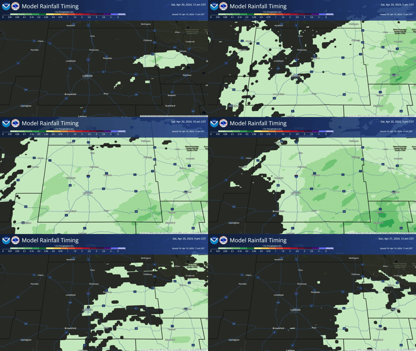
A few isolated thunderstorms are forecast to pop up this afternoon. Scattered thunderstorms are expected to increase from west to east Thursday into Friday. Some of these thunderstorms may become severe, and produce large hail, damaging thunderstorm wind gusts in excess of 60 mph, deadly cloud to ground lightning, and locally heavy rainfall.
Our high temperatures on Thursday are forecast to rise up into the 80's, and near 90 on Friday.
The Truth Is Stranger Than Fiction!
My Web Page Is Best Viewed With Google Chrome.






The cool is nice today up here - too bad the NWS HPC 5-Day Rainfall Forecast is looking so grim for the Rio Grande valley, to at least Abq. NWS Abq showed a 50% rain chance for Fri...
ReplyDeleteReally Scent of change in the air.
ReplyDeletestill 50% chances of rain around.
regards,
Jack