Unseasonable Warmth Today & Wednesday - Cold Front Wednesday - Remnants Of Paul Next Week?
Unseasonably Warm Today.
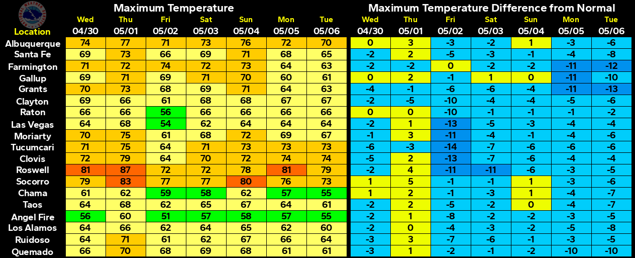
Departures From Normal At 6 PM MDT Today..
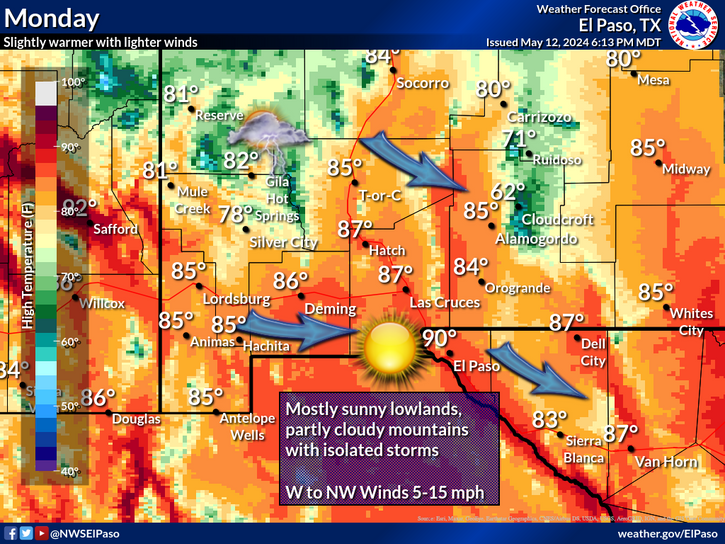
Even though it is the middle of October our afternoon high temperatures today and tomorrow will feel more like the first of June readings. Our forecast highs today and tomorrow are expected to range from the mid 80's to the low 90's. This will be some 10 to 15-degrees above normal.
Valid At 6 PM MDT Wednesday Oct 17, 2012.
Valid At 6 PM MDT Wednesday Oct 17, 2012.
Temporary relief from the summer-like heat will arrive in the form of a weak cold front Wednesday afternoon. This front is expected to be dry so our chances of seeing any rainfall associated with it are pretty much at 0%. As the jet stream takes a tip southward into the central plains, it will kick this cold front southward into our area.
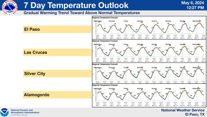
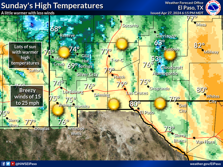
A brief cool down will occur on Thursday with our afternoon highs forecast to be in the upper 70's to near 80. Friday will see a warming trend commence with our afternoon highs in the low-mid 80's, perhaps a few upper 80's. By Saturday and Sunday we will be flirting with the 90-degree mark once again.
Hurricane Paul was located 130 miles south of Cabo San Larazo, Mexico as of 6 AM MDT this morning. Paul is moving off to the northeast at 21 mph. His central pressure is down to 967 millibars, or 28.56" of mercury. Hurricane Paul has sustained winds of 110 mph with gusts near 130 mph.
Valid At 6 PM Sunday Oct 21, 2012.
Valid At 6 PM Monday Oct 22, 2012.
Hurricane Paul is forecast to continue on a northerly today, then begin to curve northwestward tomorrow into Thursday. He will then stall and begin to dissipate west of the Baja Peninsula, and southern California late this week into this weekend.
Will the remnant moisture from Paul get drawn northeastward into the Desert Southwest and New Mexico? Tough question to answer at this point. Take a look at the water vapor satellite image I posted above, you can see that the leading edge of the cirrus clouds from Paul are already filtering into our neck of the woods.
Early next week the GFS forecast model, and to a lesser degree, the European (ECMWF) forecast model, are forecasting a strong mid-upper level trough of low pressure to dig southward along the Western US Coast. This trough may pick up the remnant moisture from Paul and spread it northeastward into our area, thus increasing our chances for rain next week.
The Truth Is Stranger Than Fiction!
My Web Page Is Best Viewed With Google Chrome.





Comments
Post a Comment
Your comments, questions, and feedback on this post/web page are welcome.