Warming Up - T-Storms Sunday?
Back To Unseasonably Hot.
Temperature Departures From Normal
. Valid At 6 PM MDT Friday Oct 20, 2012.
Temperature Departures From Normal.
Valid At 6 PM MDT Wednesday Oct 24, 2012.
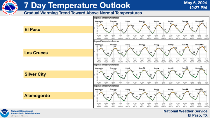
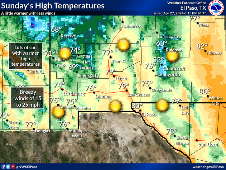
Summer just refuses to let go. After a brief cool down yesterday, we will see our afternoon highs climb back up into the low-mid 80's today. Saturday looks to be downright hot with afternoon highs in the low-mid 90's, and Sunday's readings will be similar also. In fact the summer-like heat is forecast to continue right on into the middle of next week.
We may have a slight chance of seeing a few thunderstorms Sunday afternoon and evening as an upper-level trough of low pressure ejects northeastward out of the Baja Region and into the Desert Southwest. The models are not in very good agreement on this right now. Its possible if the trough of low pressure is stronger and slower than forecast then we may see a few severe thunderstorms. If the trough ejects out faster and weaker then our chances of seeing rain will diminish.
Windy The Middle Of Next Week.
Valid At Noon MDT Thursday Oct 25, 2012.
Valid At 6 AM MDT Thursday Oct 25, 2012.
Valid At 6 AM MDT Thursday Oct 25, 2012.
Temperature Departures From Normal.
Valid At 6 Noon Saturday Oct 27, 2012.
Windy conditions may develop over the area next Wednesday and Thursday as a strong upper-level storm pulls east out of the Rockies and into the central plains. The jet stream will remain north of the local area, thus leaving southeastern New Mexico in the windy zone, as the surface pressure gradient tightens up.
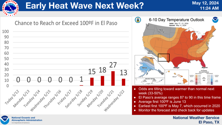
Arctic air will plunge southward into the country behind the strong plains storm Friday and Saturday. A quick end to our temps in the 90's is anticipated by late next week into the weekend. Its possible that much of the local area may even see our first freeze of the season by next weekend. Most of southeastern New Mexico on average experiences its first freeze around Halloween, some locations about a week before Halloween, and some about a week after Halloween.
The Truth Is Stranger Than Fiction!
My Web Page Is Best Viewed With Google Chrome.


Comments
Post a Comment
Your comments, questions, and feedback on this post/web page are welcome.