Cold Weather Sticks Around Until The Middle Of Next Week.

At least it did not get nearly as windy as had been forecast for yesterday.


This is not the worst of the cold weather...colder temps are yet to come. Check out these comments on the Albuquerque National Weather Service Forecast Office "Area Forecast Discussion" or AFD from yesterday afternoon. Its been awhile since we have seen -40F temps reported in New Mexico.

Local National Weather Service Outlooks.


Outlook For Today Into Mid-Week.

This Mornings 12Z/5 AM MST GFS 500 MB Temp Analysis.

This Mornings 12Z/5 AM MST GFS 700 MB Temps.
Very cold air aloft at the mid-levels of the atmosphere cover all of the Western and Southwestern U.S. this morning. Temps at the 500 millibar level or roughly at the 18,000' mean seal level are down to -38F over northwestern Arizona northeastward into northwestern Colorado. Temps at the mountain top level or the 700 millibar level (10,000' mean sea level) were down to -28F over eastern Idaho and much of Wyoming. Bitterly cold arctic air from the North Pole is being funneled straight south and in New Mexico. This trend is forecast to continue into the middle of next week.

Albuquerque, NM.

Clovis, NM.

Roswell, NM.
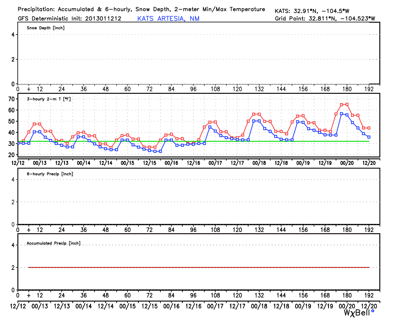
Artesia, NM.

Carlsbad, NM.

Hobbs, NM.

Ruidoso, NM.


I know that this is a long ways off (valid at 5 AM MST on Jan 22nd) and you must use these forecasts (four maps above) by the GFS model, with a great deal of caution...however, take a look at these temperatures. Colder than -50F at the 500 millibar level, down to -44F at the 700 millibar level, -42F at the 850 millibar level, and finally -40F to -45F at the surface. There is the potential that many areas east of the Rockies may end up seeing some of the coldest weather in years from later this month on into February.
The Truth Is Stranger Than Fiction!
My Web Page Is Best Viewed With Google Chrome.


Comments
Post a Comment
Your comments, questions, and feedback on this post/web page are welcome.