Highs Today Mid-Upper 90's...Highs Thursday 50's.
I topped out at 94F yesterday here at my home in Carlsbad, NM. Today will see similar highs across southeastern New Mexico and west Texas. Some of us may even make it up into the mid-upper 90's. Its possible that a few of us may even tie or break our daily record high temps for today.
Record High Temperatures For April 30th.
Roswell Climate 96 in 2002.
Artesia Climate 98 in 1928
Carlsbad Climate 92 in 2002 and earlier years.
Carlsbad Airport 97 in 2012 and earlier years.
Hobbs Climate 95 in 2002.
Tatum Climate 93 in 2011.
Ruidoso Climate 80 in 1959 and earlier years.
Cloudcroft Climate 70 in 1992.
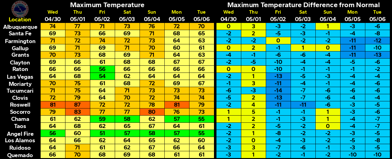
Next Strong Cold Front Due Wednesday Evening.
Map Is Courtesy Of The Albuquerque NWS Office.
Map Is Courtesy Of The Midland NWS Office.
Map Is Courtesy Of The Lubbock NWS Office.
Map Is Courtesy Of The Midland NWS Office.
Map Is Courtesy Of The Lubbock NWS Office.
GFS Surface Forecast @ 6 AM MDT Thursday.
NAM Simulated Radar Forecast @ 3 AM MDT Thursday.
NAM Forecast Low Temps @ 6 AM MDT Thursday.
NAM Forecast High Temps @ Noon MDT Thursday.
GFS Temperature Anomaly Forecast Thursday @ 6 PM MDT.
ECMWF Temperature Anomaly Forecast Thursday @ 6 PM MDT.
GFS 6-Hour Snowfall Totals Forecast @ 6 AM MDT Friday.
Special Weather Statement Via NWS Midland.
What an April this has turned out to be, at least as far as temperatures are concerned. Instead of a severe thunderstorm and tornado outbreak across the plains we are going to see more record cold and snow. Yet another strong cold front will blast through the local area Wednesday evening. Strong gusty northerly winds will accompany the frontal passage. These winds will likely gust up to around the 40 -50 mph which will create clouds of blowing dust. The visibility will drop down to around 1 mile or less in some areas during the strongest gusts along and behind the front.
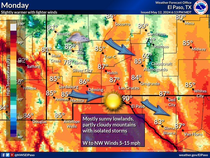
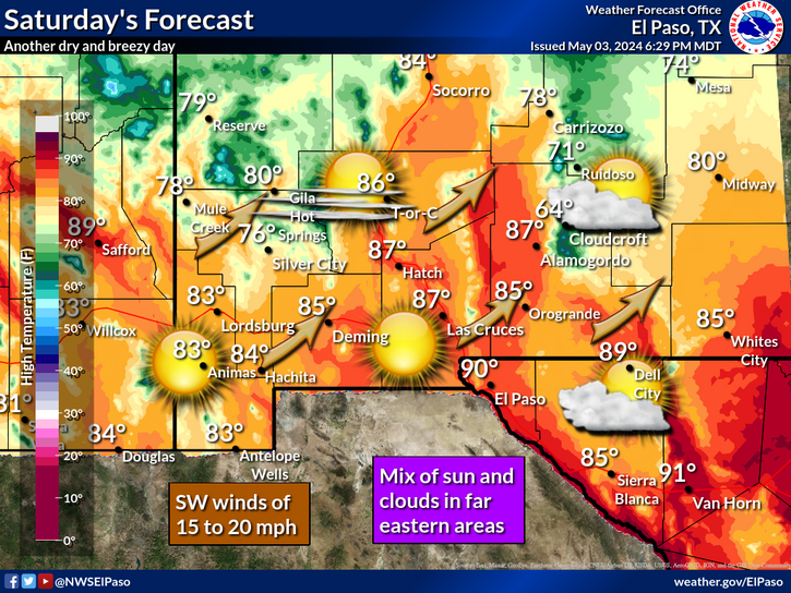
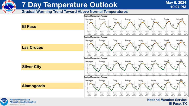
After seeing near record high temperatures today, a much colder airmass will enter the area behind the front Wednesday night. Highs on Thursday will struggle to climb out of the 50's across much of southeastern New Mexico. We will see a 30 to 40-degree drop in high temperatures behind this front on Thursday, compared to today's readings. Areas of light rain and or drizzle may also add to the misery Thursday morning making it feel even colder. Wind chill temperatures are expected to drop down into the 20's and 30's Thursday morning. Most of us will likely see or come close to seeing freezing temperatures again by sunrise Friday.
After seeing near record high temperatures today, a much colder airmass will enter the area behind the front Wednesday night. Highs on Thursday will struggle to climb out of the 50's across much of southeastern New Mexico. We will see a 30 to 40-degree drop in high temperatures behind this front on Thursday, compared to today's readings. Areas of light rain and or drizzle may also add to the misery Thursday morning making it feel even colder. Wind chill temperatures are expected to drop down into the 20's and 30's Thursday morning. Most of us will likely see or come close to seeing freezing temperatures again by sunrise Friday.
The Truth Is Stranger Than Fiction!
My Web Page Is Best Viewed With Google Chrome.


Comments
Post a Comment
Your comments, questions, and feedback on this post/web page are welcome.