Ridge Squashing Any Chance For Rain.
A quick look at this mornings 500 millibar (18,000' MSL) analysis shows a stout mid-level ridge of high pressure that is centered over Colorado. Dry air covers eastern and southeastern New Mexico as well as west Texas underneath this ride...as depicted by the Water Vapor Satellite image (orange/red shading) above. The light grey shaded area streaming northward out of Mexico, into western Arizona and western Utah, indicates moisture associated with our annual summer monsoon. This moisture plume is rotating counter clock-wise around the mid-level ridge of high pressure.
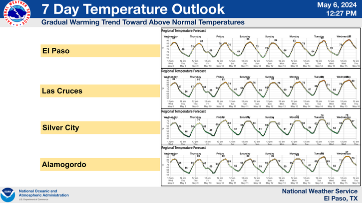
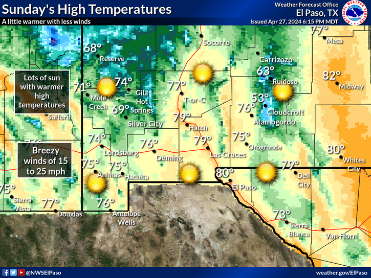
So squash any chances for rain anytime soon. Sunny days with afternoon highs in the 90's look to prevail across the local area today into the first of next week.
September Climatology Fact-
Carlsbad, New Mexico's long term average rainfall for September (1900 - 2012) is 2.13" making this on average the wettest month of the year. In 1980 12.27" of rain was measured at the Carlsbad Climate Co-Op Station making this the wettest September on record. Carlsbad's long term yearly average rainfall is 12.88" (1900 - 2012). So in 1980 nearly a years worth of rain fell in that one month (September).
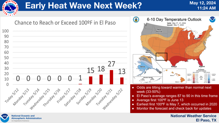
I don't see anything in the model data at this time that indicates any significant pattern changes in the near future. Therefore it appears more hot and dry weather is headed our way.
The Truth Is Stranger Than Fiction!
My Web Page Is Best Viewed With Google Chrome.


Comments
Post a Comment
Your comments, questions, and feedback on this post/web page are welcome.