Welcome To The First Day Of The Meteorological Fall.
Valid @ Noon MDT Tuesday.
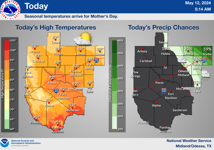
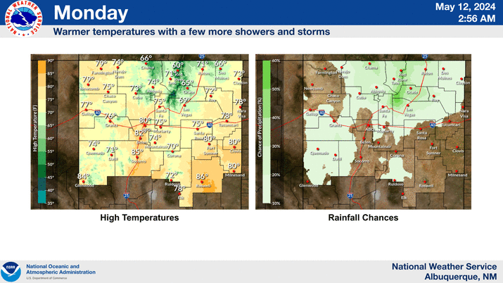
Welcome to the first day of the meteorological fall. Today will still feel very summer-like with our afternoon highs here in southeastern New Mexico ranging from the upper 90's to near 100.
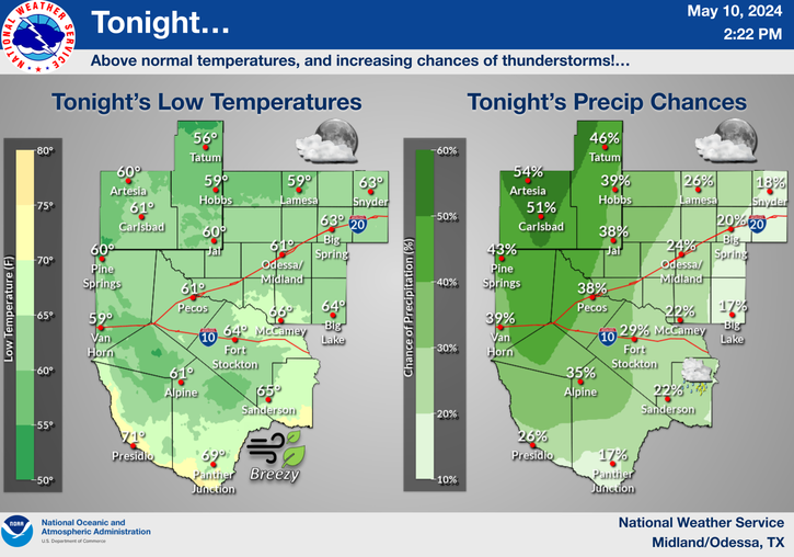
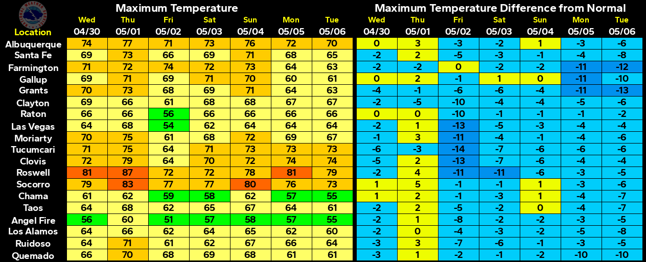
A weak back-door cold front will slide slowly southward into eastern New Mexico tonight and southeastern New Mexico by tomorrow. Slightly cooler temps behind the front will drop our highs on Labor Day down to near 90 and the low 90's, and the upper 80's to near 90 on Tuesday.
A slight increase in low-level moisture along and behind this approaching cold front will bump up our chances for scattered thunderstorms a bit starting tonight and continuing into Tuesday. These storms will be of the hit and miss variety, so at this time I don't anticipate a widespread beneficial rain event, although a few of us may see some moderate to even locally heavy rainfall totals out of a few of these thunderstorms.
August went down in the history books as being a dry month. I wound up with .13" for the month here at my home in Carlsbad. The Carlsbad Airport only recorded a trace of rain for the month...that's as dry as it gets for August.
August is normally the wettest or the second wettest month of the year for southeastern New Mexico. Hopefully September will see a return of the rains but remember that we are still in the midst of a three year drought that continues to grip the state.
The Truth Is Stranger Than Fiction!
My Web Page Is Best Viewed With Google Chrome.






Comments
Post a Comment
Your comments, questions, and feedback on this post/web page are welcome.