Angry NM Skies.
Red Hills Gas Plant (Agave Energy Co.) 23 Miles WNW Of Jal, NM.
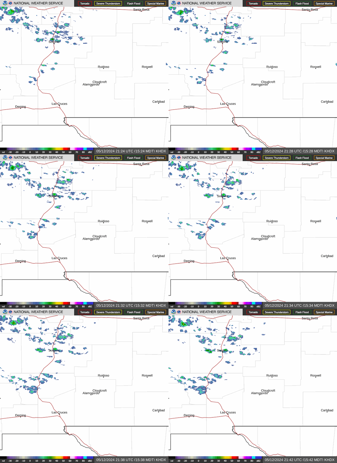
"In meteorology, virga is an observable streak or shaft of precipitation that falls from a cloud but evaporates or sublimes before reaching the ground.[1] At high altitudes the precipitation falls mainly as ice crystals before melting and finally evaporating; this is often due to compressional heating, because the air pressure increases closer to the ground. It is very common in the desert and in temperate climates. In North America, it is commonly seen in theWestern United States and the Canadian Prairies. It is also very common in the Middle East and North Africa.
Virga can cause varying weather effects, because as rain is changed from liquid to vapor form, it removes heat from the air due to the high heat of vaporization of water. In some instances, these pockets of colder air can descend rapidly, creating a dry microburst which can be extremely hazardous to aviation. Conversely, precipitation evaporating at high altitude can compressionally heat as it falls, and result in a gusty downburst which may substantially and rapidly warm the surface temperature. This fairly rare phenomenon, a heat burst, also tends to be of exceedingly dry air.
Virga also has a role in seeding storm cells whereby small particles from one cloud are blown into neighboring supersaturated air and act as nucleation particles for the next thunderhead cloud to begin forming.[citation needed]
Virga can produce dramatic and beautiful scenes, especially during a red sunset. The red light can be caught by the streamers of falling precipitation, and winds may push the bottom ends of the virga so it falls at an angle, making the clouds appear to have commas attached.
The word virga is derived from Latin meaning "twig" or "branch".
The Truth Is Stranger Than Fiction!
My Web Page Is Best Viewed With Google Chrome.





Comments
Post a Comment
Your comments, questions, and feedback on this post/web page are welcome.