Round Two Underway Today Into Wednesday.
Second Winter Storm Inbound.
Our next inbound winter storm was located over eastern Nevada early this morning. Forecast models indicate that it will briefly close off over southern Arizona tonight into Wednesday. Last nights 06Z/11 PM MST run of the Experimental GFS (T1534) model holds it back a little further to the west over southwestern Arizona by sunset tomorrow. Both the European (ECMWF) and the Canadian (GEM) bring it into southwestern New Mexico by that time.
Canadian (RGEM) Accumulated Snowfall Forecast.
Valid @ 5 PM MST Wednesday.
NAM/WRF 3-Hourly Total Snowfall Accumulation Forecast.
Valid @ 5 PM MST Wednesday.
NCEP NDFD Snowfall Accumulation Forecast.
Valid @ 5 PM MST Wednesday.
A mix of rain, sleet, and snow dusted parts of the southeastern plains late yesterday afternoon and evening. A repeat will occur again today. If the current trend of the upper level storm to our northwest digging further to the west continues, then there is a chance we could see more snow locally than current forecast models indicate. For now a wintry mix of light freezing drizzle and freezing fog is forecast for today. This is expected to mix with and change over to sleet and snow tonight. Again I think an inch or two of snow still is possible across the southeastern plains.
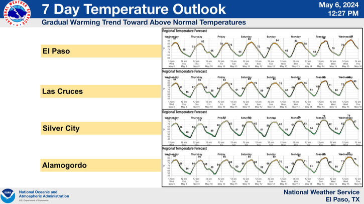
A warming trend will commence starting Thursday. By Friday into Sunday we will be looking at high temps in the 60's to near 70. Tranquil weather should prevail for the next week to ten days. By around the last week of the month a return to a stormier and colder pattern looks likely.
The Truth Is Stranger Than Fiction!
My Web Page Is Best Viewed With Google Chrome.


Comments
Post a Comment
Your comments, questions, and feedback on this post/web page are welcome.