Thunderstorms & Heavy Rain Tuesday Night - Not Very Common In March.
Valid @ 6 AM MDT This Morning.
Valid @ 3:15 PM MDT This Afternoon.
Our next rain maker lingers just off the southern tip of the Baja Peninsula this afternoon. It is forecast by the models to begin lifting out to the northeast tonight into Wednesday. And should be located near the Texas Big Bend by around midnight Tuesday night. As this upper low unravels and dissipates over Texas by Wednesday, another one digs into the Baja Region later this week. This will bring us another chance of rain showers and thunderstorms Thursday and Friday.
March 1st - 16th 2015.
March typically is a month to be dreaded in our little corner of the world (weather-wise). Seemingly endless days (that in bad years start in February and can last into July) of hot dry westerly winds accompanied by the even more dreaded dust storm. Not this year. So far March has been relatively cool across eastern New Mexico, all of Texas, Oklahoma, and Arkansas. By this weekend southeastern New Mexico and much of West Texas should be running above normal rainfall-wise.
Temperatures @ 3 PM MDT This Afternoon.
Valid @ 3 PM MDT.
Its fairly mild across New Mexico this afternoon but the deserts of Arizona and southern California are heating up with a few locations reporting highs in the 90's.
Valid @ Noon MDT Tuesday.
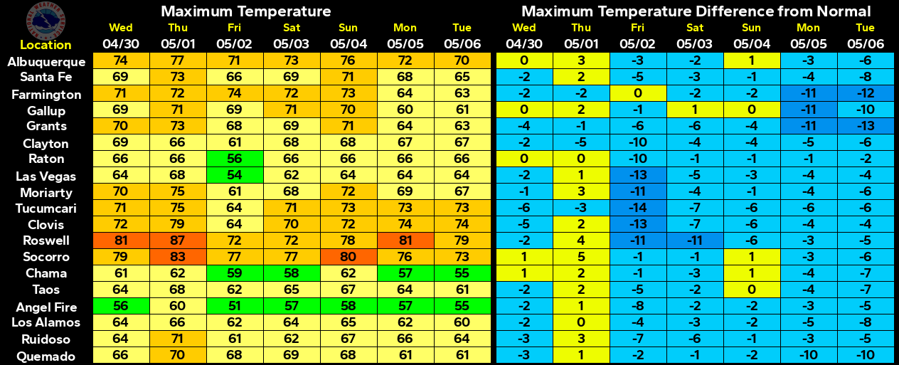
By tomorrow afternoon a cold should have pushed southward through all of southeastern New Mexico. Our highs on Tuesday are forecast to be in the 60's behind the front. The front will drop our highs down some 10-15 degrees below normal. They rebound again to near 70 on Wednesday, the low-mid 70's on Thursday, and only in the upper 50's to near 60 on Friday behind yet another front.
GFS Valid @ 6 PM MDT Wednesday.
NAM Valid @ 6 PM MDT Wednesday.
Canadian RGEM Valid @ 6 PM MDT Wednesday.
Canadian RGEM Valid @ 6 PM MDT Wednesday.
NAM-WRF Valid @ 6 PM MDT Wednesday.
NAM-WRF Simulated Composite Radar Reflectivity Forecast.
Valid @ 8 PM MDT Tuesday.
Scattered rain showers and thunderstorms are forecast to break out tomorrow afternoon and overspread the local area tomorrow night. Rainfall totals generally be will be in the .25" - .75" range. A few places may see more than this in one of the heavier thunderstorms.
The Truth Is Stranger Than Fiction!


Comments
Post a Comment
Your comments, questions, and feedback on this post/web page are welcome.