First Fall Like Cold Front Wednesday.
First fall-like upper level trough of low pressure and cold front will cool us down by Wednesday.
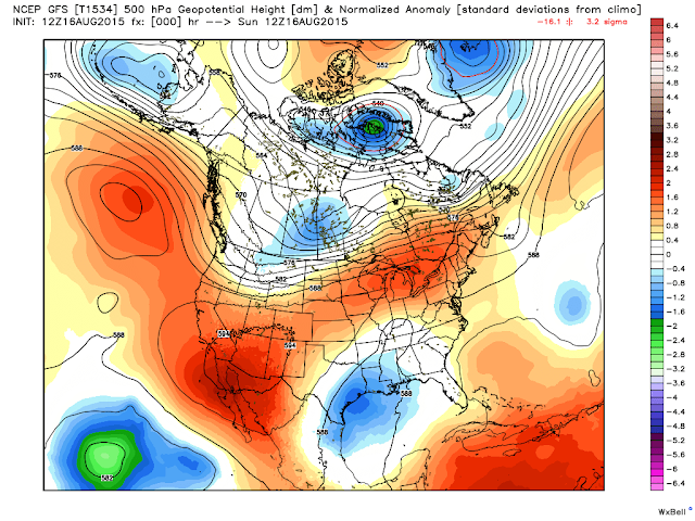
12Z GFS 500 MB Forecast.
Valid @ 6 AM MDT Wednesday.
12Z GFS Surface MSLP & Temp Anomaly Forecast.
Valid @ 6 PM MDT Wednesday.
Valid @ 6 PM MDT Wednesday.
12Z GFS Low Temp Forecast.
Valid @ 6 AM MDT Thursday.
Keep in mind that the meteorological beginning of fall occurs September 1st while the calendar beginning of fall begins September 23rd. So weather-wise we have two weeks of summer left.
A strong upper level ridge of high pressure centered over southwestern Arizona this morning continues to move westward. Meanwhile a unseasonably strong upper level trough of low pressure continues to dig southeastward into northwestern Canada. By Wednesday this deep upper level trough will be centered over the heart of the nation.
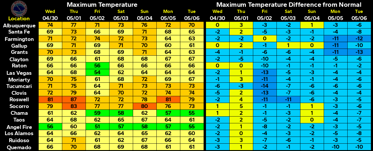
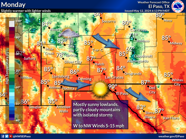
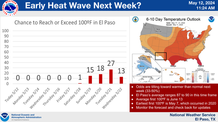
Forecast models continue the trend of this upper level trough of low pressure kicking a strong cold front southward and into southeastern New Mexico by sunset Wednesday. Much cooler air will accompany the front passage. Compare the high temps (graphic above) of the 70's to the 100+ readings we've seen over the past week over the eastern one third of New Mexico.
We will likely see highs Wednesday in southeastern New Mexico near 90°F ahead of the approaching front. Now take a look at the forecast lows (graphic above) Thursday morning in the 40's, 50's, and 60's across parts of northern and eastern New Mexico and over parts of the Texas Panhandle.
Our thunderstorm chances should also improve as the front approaches Wednesday.
I'm ready for some cooler weather and more rain. I'm ready for fall!
The Truth Is Stranger Than Fiction!


Comments
Post a Comment
Your comments, questions, and feedback on this post/web page are welcome.