Another Blistering Day On Tap. Relief Saturday.


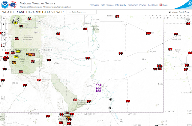
Wednesday was another scorcher for mid September in southeastern New Mexico. Carlsbad hit 100°F and I recorded 102°F here at our home. Today will be similar perhaps a few degrees cooler. Scattered thunderstorms will pop up this afternoon and evening. 

As a cold front approaches late Friday afternoon into the overnight hours additional thunderstorms will dot the local area. Some of these may produce locally heavy rainfall totals of 1" to 2" by Sunday evening. Saturday will be some 15-20 degrees cooler behind the cold front with highs in the 70's and 80's across the local area.

The Truth Is Stranger Than Fiction!
Comments

Current NWS National Watches/Warnings In Effect

Current NWS National Watches/Warnings In Effect
Click On The Map For The Latest Updates

New Mexico

Current Watches In Effect

SPC Mesoscale Discussions

Storm Prediction Center (SPC) Day 1 Outlook

NWS Regional Radar

NWS Regional Radar

NWS Midland Radar

Cannon AFB Radar

NWS Albuquerque Radar

Holloman AFB Radar

NWS El Paso Radar

NWS Lubbock Radar

GOES-East - Sector view: Southern Rockies - GEOColor

Current US Temps

Current US Wind Chill/Heat Index Temperatures

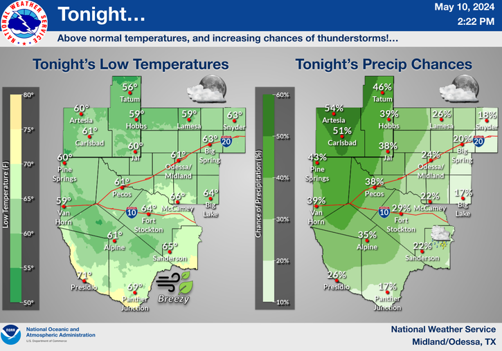
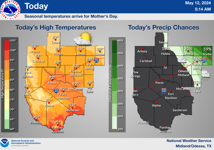
NWS Midland Regional Forecast

NWS Midland Regional Forecast

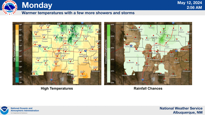
NWS Albuquerque Regional Forecast

NWS Albuquerque Regional Forecast

NWS Albuquerque Regional Forecast

NWS Albuquerque Regional Forecast

NWS Albuquerque Regional Forecast

NWS El Paso Regional Forecast

NWS Lubbock Regional Forecasts

NWS Lubbock Regional Forecast.

NWS Lubbock Regional Forecast

NWS Forecast High Temps Today

NWS Forecast Low Temps Tonight

24-Hour Minimum Wind Chill Forecast

NWS Albuquerque Storm Total Snowfall Forecast

NWS Albuquerque Storm Total Rainfall Forecast

NWS Midland Storm Total Rainfall Forecast

NWS El Paso Storm Total Rainfall Forecast

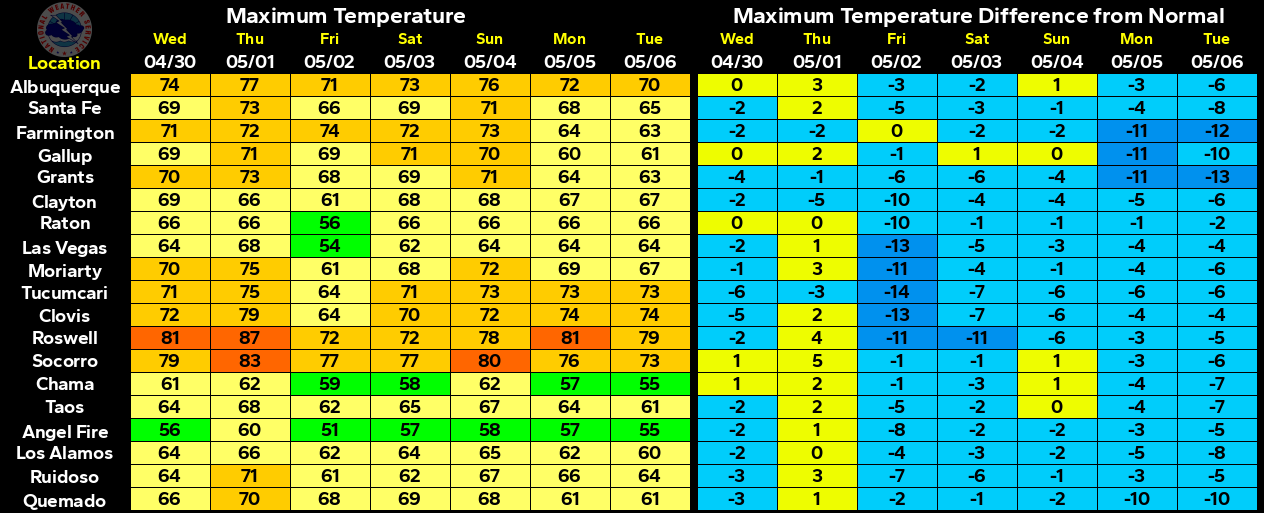
Average Daily High/Low Temperatures & Rainfall

Average Daily High/Low Temperatures & Rainfall