SE NM YTD Rainfall Totals.


(January 1st - August 2nd, 2018).


(January 1st - July 31st, 2018).


Sacramento Mountains Year-To-Date Rainfall Totals.
(January 1st - July 31st, 2018).


With the onset of our annual summer Monsoon slowly but surly our year-to-date rainfall totals are creeping upwards towards "normal" or "average" levels to date. Not everyone can celebrate though as our rainfall has been very spotty in nature. Our summer theme remains as "hit and miss thunderstorms".This is not at all that untypical for summer rainfall totals. Our two wettest months of the year are yet to unfold (August and September) so much could change between now and our average first frost...typically around Halloween. 

The Truth Is Stranger Than Fiction!

Comments

Current NWS National Watches/Warnings In Effect

Current NWS National Watches/Warnings In Effect
Click On The Map For The Latest Updates

New Mexico

Current Watches In Effect

SPC Mesoscale Discussions

Storm Prediction Center (SPC) Day 1 Outlook

NWS Regional Radar

NWS Regional Radar

NWS Midland Radar

Cannon AFB Radar

NWS Albuquerque Radar

Holloman AFB Radar

NWS El Paso Radar

NWS Lubbock Radar

GOES-East - Sector view: Southern Rockies - GEOColor

Current US Temps

Current US Wind Chill/Heat Index Temperatures

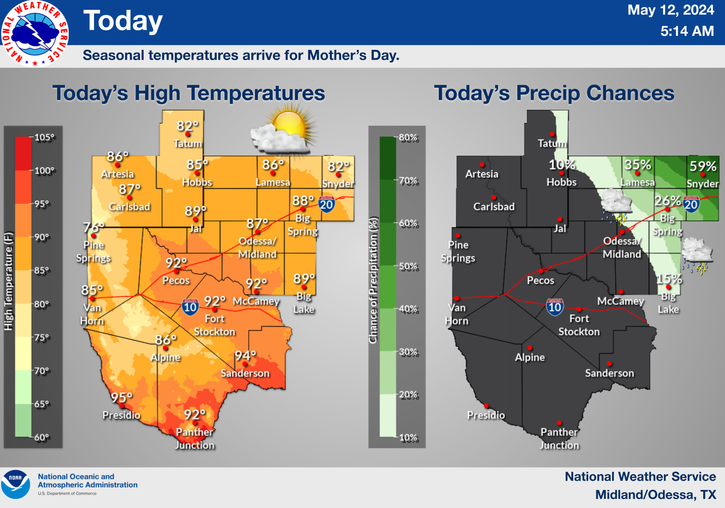
NWS Midland Regional Forecast

NWS Midland Regional Forecast

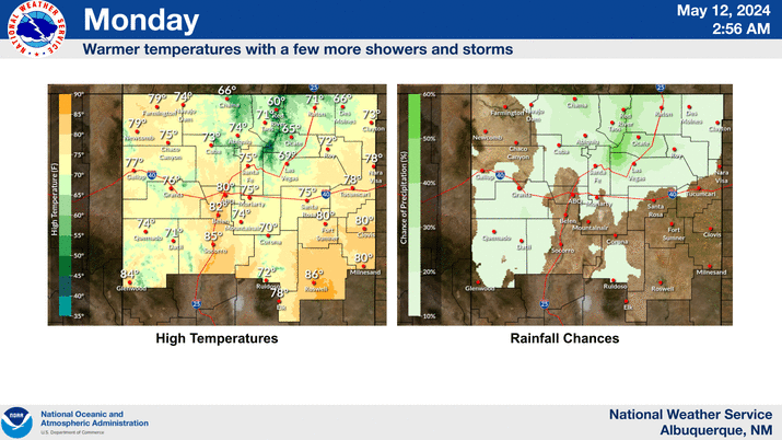
NWS Albuquerque Regional Forecast

NWS Albuquerque Regional Forecast

NWS Albuquerque Regional Forecast

NWS Albuquerque Regional Forecast

NWS Albuquerque Regional Forecast

NWS El Paso Regional Forecast

NWS Lubbock Regional Forecasts

NWS Lubbock Regional Forecast.

NWS Lubbock Regional Forecast

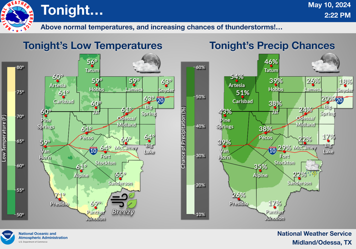
NWS Forecast High Temps Today

NWS Forecast Low Temps Tonight

24-Hour Minimum Wind Chill Forecast

NWS Albuquerque Storm Total Snowfall Forecast

NWS Albuquerque Storm Total Rainfall Forecast

NWS Midland Storm Total Rainfall Forecast

NWS El Paso Storm Total Rainfall Forecast

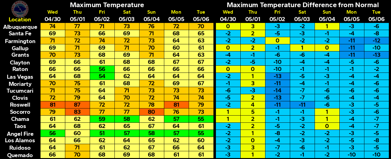
Average Daily High/Low Temperatures & Rainfall

Average Daily High/Low Temperatures & Rainfall