Labor Day Weekend T-Storm Rainfall Totals & Photos.
Sunday, Sept 2nd, 2018.
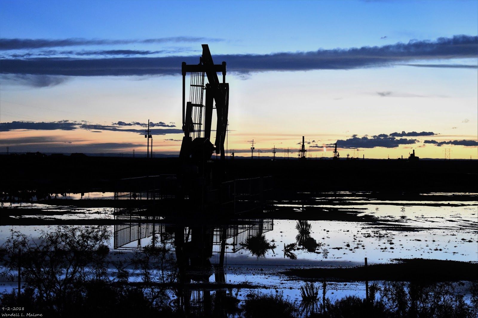
Flooded Pump Jack Pad After Heavy Rains West Of Lakewood.

Sunday, Sept 2nd, 2018.
Crepuscular Rays West Of Lakewood.


Labor Day, Sept 3rd, 2018.
Blowing Dust Kicked Up By Thunderstorm Outflow Winds South Of Artesia.
(As Of 7 AM MDT Labor Day, Sept 3rd, 2018).

NWS Reported & Radar Estimated 72-Hour Rainfall Totals.
(As Of 7 AM MDT Labor Day, Sept 3rd, 2018).

(As Of 8 AM MDT This Labor Day).


(As Of 8 AM MDT This Labor Day).


Most of Southeastern New Mexico's population is centered in and around the Pecos Valley from the Roswell area south to Artesia, Carlsbad, and Loving. And in and around the Hobbs and Lovington areas. Given the fact that nearly every one of these communities have missed out on the heaviest rains over the past three days it would appear to most of us that this rain event has left us out in the cold.
But if you take a look at the NWS MesoWest Graphics posted above and look at just where the heaviest rains have fallen over the past 24-hours and the past three days its clear that several locations have had heavy rains. Once again the theme of scattered afternoon and evening thunderstorms is forecast to continue into the end of this upcoming week. Locally heavy rains will be possible along with localized flash flooding especially in those areas that have already received heavy rainfall.
3-Day Radar Estimates.
Southwestern Corner Of Roosevelt County 5"
West Of Mayhill Nearly 4"
Dark Canyon SE Of Queen 3.50"
Dog Canyon SW Queen 3"
NE & E Lea County 2.50" To 3.75"
South Of The NM/TX State Line SW Of Carlsbad 2.75"
Near Dunken 2"
Near Ruidoso 2"
3-Day Measured Totals.
Runyan Ranches 50 Miles W Artesia 2.16"
0.5 Miles NNW Of Cloudcroft 1.83"
Queen CoCoRaHS In Queen 1.82"
1.6 Miles NNE Alto 1.76"
Queen Raws 1.75"
1.7 Miles SW Tatum 1.22"
The Truth Is Stranger Than Fiction!


Comments
Post a Comment
Your comments, questions, and feedback on this post/web page are welcome.