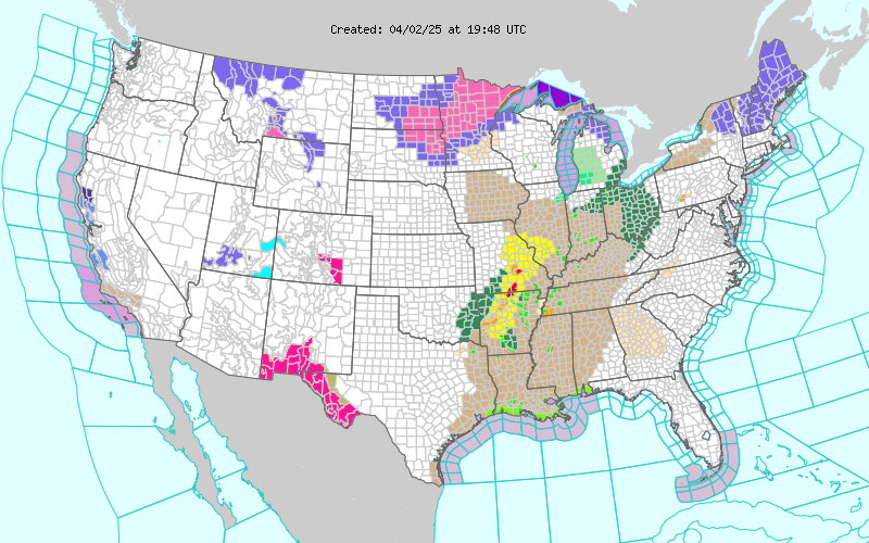
A Few Severe T-Storms Near The State Line.
SPC Day 1 Severe Wx Outlook Issued At 6:23 AM MDT.

It appears that the best chances for severe thunderstorms in New Mexico today will be near the NM/TX state line, from roughly around the Portales and Clovis area northward to the Colorado state line. Unless things change later this afternoon and evening, it now appears that our chances for seeing thunderstorms here in southeastern New Mexico have diminished.
Lea County might get a few thunderstorms late this afternoon and evening. Current forecasts give the best chances for thunderstorms this afternoon and evening along and east of the dryline, which will lie roughly along and east of a Tatum-Fort Stockton-Big Bend line. A few severe thunderstorms are possible across parts of west Texas today, especially in the upper Colorado Valley area.
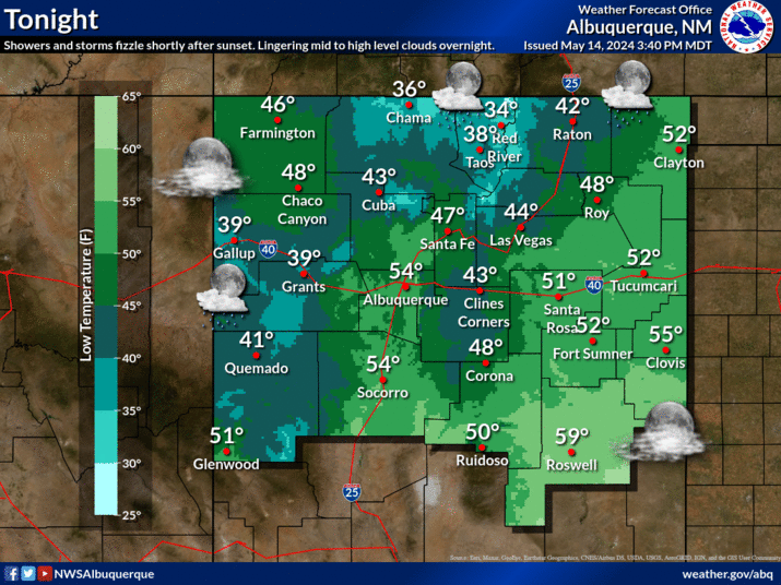
We can expect to see the thermometer climb up into the upper 80's to the low 90's today. Monday's highs will be in the low-mid 90's, and this will be true for the rest of the work week.
Long-range model forecasts do not offer any realistic hope for significant rainfall across southeastern New Mexico over the next week to ten days.
The Truth Is Stranger Than Fiction!
My Web Page Is Best Viewed With Google Chrome.


Comments
Post a Comment
Your comments, questions, and feedback on this post/web page are welcome.