Posts

110-Degree Temps Again Today!

Image
Click On The Maps To Enlarge Them. RUC 500 MB Analysis At 7 AM MDT This Morning.  A Massive mid-upper level ridge of high pressure is centered over SE NM & W TX this morning. This blocking ridge is  squashing  any hope of the monsoon developing. It is also responsible for producing our current heat wave. Widespread High Temps Of 110 Today. Huge Area Of 110 (Or Higher) Temps Forecast Today. Excessive heat is once again expected across all of SE NM and W TX today and tomorrow. High temps are forecast to to be very near, or above  110 today, and 107 - 109 on Monday. Tropical Outlook. Today's NHC Tropical Outlook. This tropical disturbance has a 20% chance of developing  into a tropical storm within 48 hours. It is forecast to cross over the Yucatan Peninsula today and into the Bay of  Campeche on Monday, where conditions will be more  favorable for  development.  Today's 12Z/6 AM MDT WRF-NAM Surface Fo...

NWS Albuquerque Burn Scar Matrix

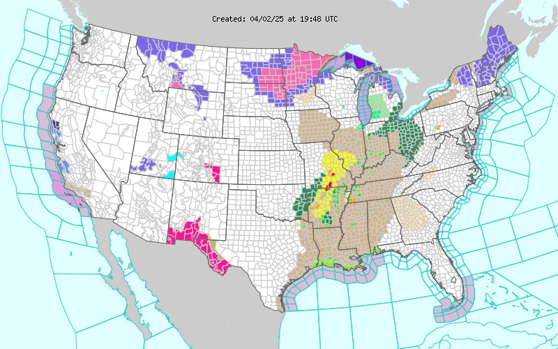
Current National Weather Service Watches/Warnings In Effect.

New Mexico

Chaves County Plains & Mtn's

Eddy County

Culberson County

Lea County

Lincoln County

Otero County

Current US Temps

Current US Wind Chill/Heat Index Temperatures

WPC 7-Day Precipitation Forecast

Roswell Live EarthCam

Ruidoso Live Webcam

Cloudcroft Live Webcam

NWS Midland 3-Day Precipitation Forecast

NWS Midland High End 3-Day Precipitation Forecast

NWS Midland 3-Day Precipitation Chances

New Mexico 3-Day Precipitation Forecast

New Mexico 3-Day High End Precipitation Forecast

New Mexico Precipitation Chances

NWS El Paso 3-Day Precipitation Forecast

NWS El Paso High End 3-Day Precipitation Forecast

NWS El Paso 3-Day Precipitation Chances

US 24-Hour Precipitation Forecast

US 24-Hour High End Precipitation Forecast

US 24-Hour High End Precipitation Forecast

US 3-Day Precipitation Forecast

US 3-Day High End Precipitation Forecast