Posts

Increasing Chances For T-Storms.

Image
Mother Nature Won't Deliver. Click On The Photos To Enlarge Them. Distant dissipating high based t-storms SW of Artesia, NM.  These high based storms produce more wind and lightning than much needed rainfall.  This alfalfa hay field in Atoka, south of Artesia, is being irrigated by side-row sprinklers, utilizing Artesian water wells. Even so, many of the local farmers and ranchers, continue to struggle with the  extreme drought,  heat, and water shortage issues.  Next Five Days Offer Hope For Rain. Click On The Maps To Enlarge Them. NWS HPC 5-Day Precipitation Forecast. Valid From 6 AM This Morning - 6 AM Tue, Jul 26th. Most of the Land of Enchantment is forecast to see some much needed rainfall over the next five days. Some areas will see locally heavy rainfall totals, especially over and  near the mountains.  Water Vapor Satellite Image At 7:45 AM This Morning. Sub-tropical moisture (monsoonal flow) from deep within Mexico, co...

NWS Albuquerque Burn Scar Matrix

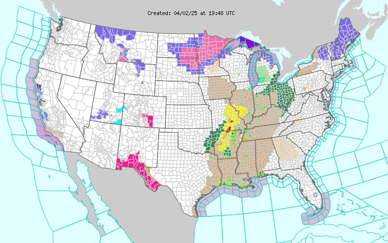
Current National Weather Service Watches/Warnings In Effect.

New Mexico

Chaves County Plains & Mtn's

Eddy County

Culberson County

Lea County

Lincoln County

Otero County

Current US Temps

Current US Wind Chill/Heat Index Temperatures

WPC 7-Day Precipitation Forecast

Roswell Live EarthCam

Ruidoso Live Webcam

Cloudcroft Live Webcam

NWS Midland 3-Day Precipitation Forecast

NWS Midland High End 3-Day Precipitation Forecast

NWS Midland 3-Day Precipitation Chances

New Mexico 3-Day Precipitation Forecast

New Mexico 3-Day High End Precipitation Forecast

New Mexico Precipitation Chances

NWS El Paso 3-Day Precipitation Forecast

NWS El Paso High End 3-Day Precipitation Forecast

NWS El Paso 3-Day Precipitation Chances

US 24-Hour Precipitation Forecast

US 24-Hour High End Precipitation Forecast

US 24-Hour High End Precipitation Forecast

US 3-Day Precipitation Forecast

US 3-Day High End Precipitation Forecast