Posts

Severe T-Storm Possible Across Parts Of W TX This Evening!

Image
Map Is Courtesy Of The Midland NWS Office. Day 1 Severe Weather Outlook Courtesy Of The SPC. 30% Chance Of Spotter Activation! Quote- "An upper level storm system will slowly approach west Texas and southeast New Mexico tonight. Surface low pressure will be located in the vicinity of southeast New Mexico, while a dryline extends southward through the Lower Trans Pecos region.  Scattered thunderstorms will develop across southeast New Mexico, the Permian Basin, and the Lower Trans Pecos region this evening.   A few storms could become severe across locations east of a Midland and Odessa, Bakersfield, Sanderson line. Large hail and damaging winds will be the primary severe hazards, though an isolated tornado will be possible . " T he Truth Is Stranger Than Fiction!  My Web Page Is Best Viewed With Google Chrome.

NWS Albuquerque Burn Scar Matrix

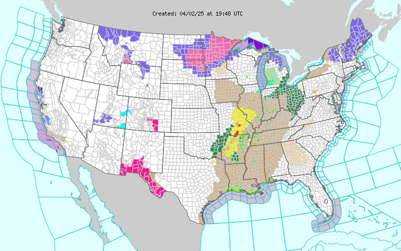
Current National Weather Service Watches/Warnings In Effect.

New Mexico

Chaves County Plains & Mtn's

Eddy County

Culberson County

Lea County

Lincoln County

Otero County

Current US Temps

Current US Wind Chill/Heat Index Temperatures

WPC 7-Day Precipitation Forecast

Roswell Live EarthCam

Ruidoso Live Webcam

Cloudcroft Live Webcam

NWS Midland 3-Day Precipitation Forecast

NWS Midland High End 3-Day Precipitation Forecast

NWS Midland 3-Day Precipitation Chances

New Mexico 3-Day Precipitation Forecast

New Mexico 3-Day High End Precipitation Forecast

New Mexico Precipitation Chances

NWS El Paso 3-Day Precipitation Forecast

NWS El Paso High End 3-Day Precipitation Forecast

NWS El Paso 3-Day Precipitation Chances

US 24-Hour Precipitation Forecast

US 24-Hour High End Precipitation Forecast

US 24-Hour High End Precipitation Forecast

US 3-Day Precipitation Forecast

US 3-Day High End Precipitation Forecast