Near-Record To Record High Temps Possible.

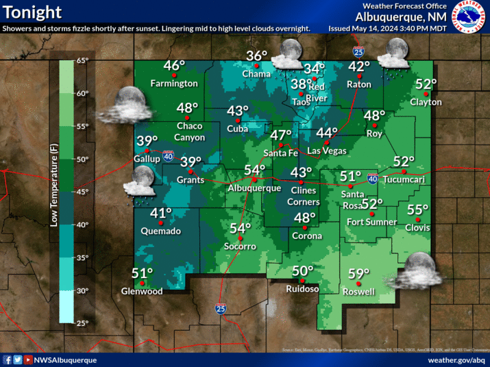
Maps Are Courtesy Of The Midland NWS Office. Map Is Courtesy Of The Lubbock NWS Office. Map Is Courtesy Of The Albuquerque NWS Office. Our Chamber of Commerce weather will continue right on into the first of next week. Most of SE NM will flirt with near-record to record high temperatures over the next several days. Highs will generally range from the upper 80's to near 90. Local Record High Temperatures. Friday March 23rd- Roswell ThreadEx 88 1998+ Artesia Climate 86 1960+ Carlsbad Climate 92 1910 Carlsbad Airport 88 1998+ Hobbs Climate 85 1998 Tatum Climate 83 1950 Saturday March 24th- Roswell ThreadEx 89 1899 Artesia Climate 88 1938 Carlsbad Climate 89 1935+ Carlsbad Airport 91 1998+ Hobbs Climate 87 1998 Tatum Climate 84 1950+ Sunday March 25th- Roswell ThreadEx 90 1998 Artesia Climate 91 1910 Carlsbad Climate 92 1910 Carlsbad Airport 90 1998 Hobbs Cliimate 88 1998 Tatum Climate 87 1938 + In earlier years also. Temperature Records Are Courtesy Of- Midland NWS Clima...


