Near-Record To Record Heat Today & Wednesday.

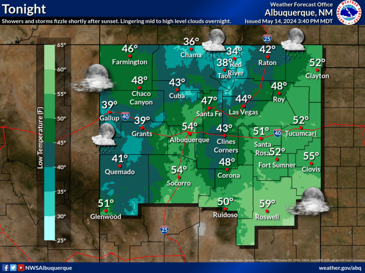
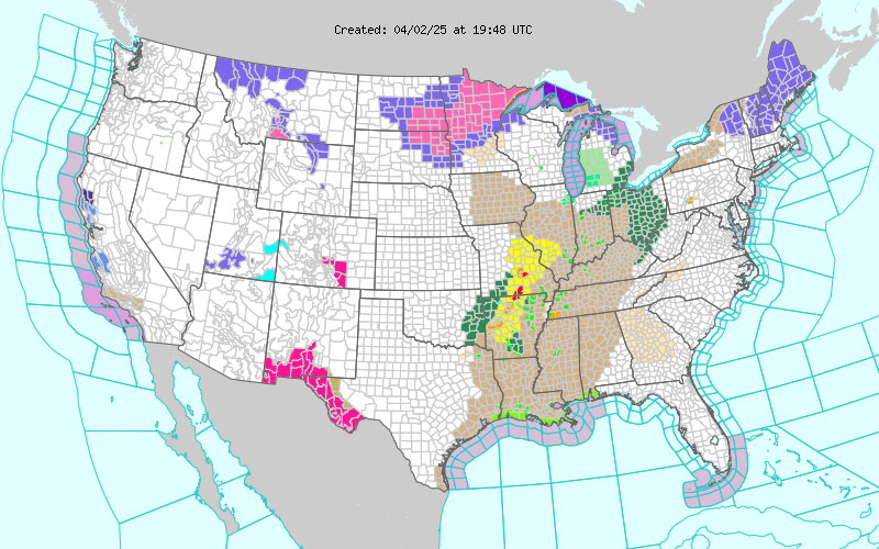
Map is Is Courtesy Of The Midland NWS Office. Maps Are Courtesy Of The Lubbock NWS Office. Maps Are Courtesy Of The Albuquerque NWS Office. Map Is Courtesy Of The El Paso NWS Office. Hot temperatures return to the Pecos Valley as well as the rest of the local area today and more so tomorrow. A few locations will challenge their daily record high temperatures today with our afternoon highs forecast to be around 96. Tomorrow will be downright hot (considering its the end of April). Our National Weather Service forecast high temperatures are generally in the 98-102 degree range. Not only will some of daily record high temperatures be challenged tomorrow, but some of our all-time April record highs may be tied or broken. A Red Flag Warning is in effect for the Guadalupe Mountains as well as the eastern slopes of the Sacramento Mountains from noon until 7 PM MDT today. A Fire Weather Watch has been issued for the area for Thursday. Hot dry and...


