More Wind & Heat.

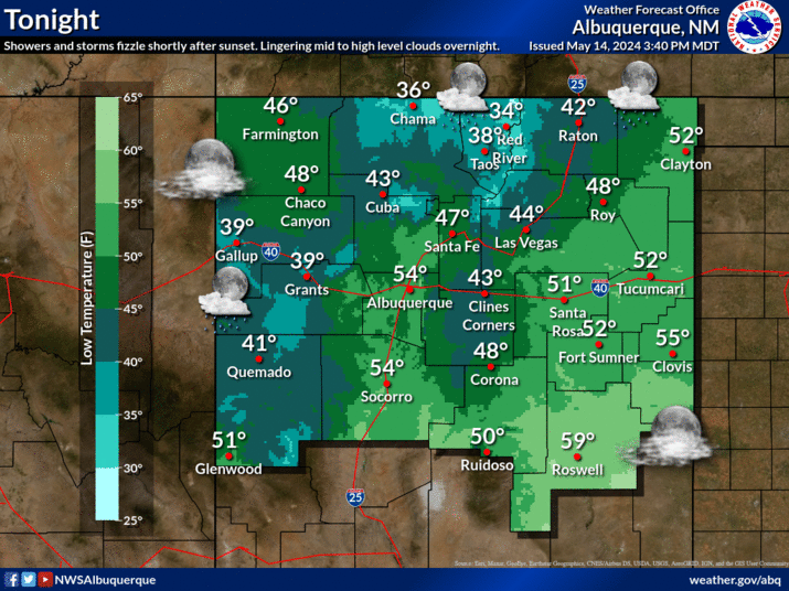
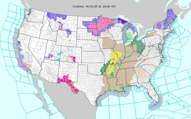
Blog updated at 4:10 PM MDT. Maps Are Courtesy Of The Midland NWS Office. Maps Are Courtesy Of The Lubbock NWS Office. Maps Are Courtesy Of The Albuquerque NWS Office. Map Is Courtesy Of The El Paso NWS Office. Today's NASA MODIS Aqua Satellite Images. The Whitewater-Baldy Fire Complex. A thick plume of smoke blanketed much of southeastern New Mexico overnight. This blanket of smoke along with breezy westerly winds combined to produce some very warm overnight low temperatures. High temperatures yesterday and low temperatures this morning include- Roswell Airport 102 / 72 Artesia Airport 99 / 75 Carlsbad Airport 101 / 80 My Home in Carlsbad 100 / 78 Today will be breezy to occasionally windy across SE NM. Thankfully the smoke trajectory from the Whitewater-Baldy Fire Complex in southwestern New Mexico trending further to the north with the winds at the surface and aloft becoming more southwesterly with time. Roswell continues to suffer from the smoke as of noon today. This monstro...


