Hot Across The SE Plains - Few T-Storms Over The Mtn's.

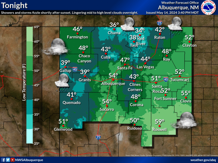
Click On The Maps To Enlarge The. Map Is Courtesy Of The Midland NWS Office. Map Is Courtesy Of The Lubbock NWS Office. Map Is Courtesy Of The Albuquerque NWS Office. Map Is Courtesy Of The El Paso NWS Office. NWS HPC 5-Day Precipitation Forecast. Southeastern New Mexico will continue its streak of hot weather into the weekend. Our highs today, and Friday will range from the low 100's to 105 . Saturday's highs will be in the low 100's , and by Sunday current forecasts drop us down into the upper 90's . This trend towards slightly lower temperatures is expected to continue into the 4th of July. We will see a slight increase in thunderstorm activity over the Guadalupe, Sacramento, and Capitan Mountains. Widely scattered thunderstorms will be possible today into the 4th of July. Rain chances over the mountains are generally in the 10% - 20% range. Hopefully these storms will produce some wetting rains instead of dry lightning strikes. This will have to be monitored closel...


