Posts

Manuel's Moisture Stays East Of Us.

Image
These Cows Headed For Higher Ground This Past Monday. Local Rainfall Totals So far This Month. New Mexico Rainfall The Past 30 Days. CoCoRaHs Reports. Chaves County. Eddy County. Lea County. Lincoln County. Otero County.  Hurricane Manuel's Remnant Moisture. Water Vapor Satellite Image @ 9:15 AM MDT This Morning. What a difference 24-hours makes. Most of the remnant moisture associated with former Hurricane Manuel has been shunted to the east of southeastern New Mexico. Much drier air at the mid and upper levels of the atmosphere are moving into New Mexico as depicted by the orange and red shading.  GRLevel 3_2.00 Estimated Rainfall Totals. Using The Midland NWS Dual Polarization Doppler Radar. We ended up mostly high and dry here in southeastern New Mexico concerning the core of former Hurricane Manuel's remnant moisture. It went east and southeast of us into west Texas. Brantley Lake Level Co...

NWS Albuquerque Burn Scar Matrix

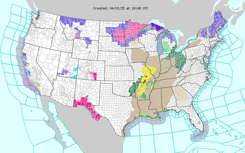
Current National Weather Service Watches/Warnings In Effect.

New Mexico

Chaves County Plains & Mtn's

Eddy County

Culberson County

Lea County

Lincoln County

Otero County

Current US Temps

Current US Wind Chill/Heat Index Temperatures

WPC 7-Day Precipitation Forecast

Roswell Live EarthCam

Ruidoso Live Webcam

Cloudcroft Live Webcam

NWS Midland 3-Day Precipitation Forecast

NWS Midland High End 3-Day Precipitation Forecast

NWS Midland 3-Day Precipitation Chances

New Mexico 3-Day Precipitation Forecast

New Mexico 3-Day High End Precipitation Forecast

New Mexico Precipitation Chances

NWS El Paso 3-Day Precipitation Forecast

NWS El Paso High End 3-Day Precipitation Forecast

NWS El Paso 3-Day Precipitation Chances

US 24-Hour Precipitation Forecast

US 24-Hour High End Precipitation Forecast

US 24-Hour High End Precipitation Forecast

US 3-Day Precipitation Forecast

US 3-Day High End Precipitation Forecast