Posts

40 Degree Temperature Drop By Monday.

Image
GFS Forecasts. Last Nights 00Z/6 PM MDT GEFS Ensemble Control 500 MB Forecast. Valid @ 6 AM MDT Monday, April 14, 2014. Last Nights 06Z/Midnight MDT GFS Temp Anomaly Forecast. Valid @ 6 PM MDT Monday, April 14, 2014. Last Nights 06Z/Midnight MDT GFS Max Temp Forecast. Valid @ 6 PM MDT Monday, April 14, 2014. Last Nights 06Z/Midnight MDT Total Precipitation Forecast. Valid @ 6 PM MDT Monday, April 14, 2014. Last Nights 06Z/Midnight MDT Accumulated Snowfall Forecast. Valid @ 6 PM MDT Monday, April 14, 2014. ECMWF Forecast. Last Nights 00Z/6 PM MDT ECMWF Ensemble Control 500 MB Forecast. Valid @ 6 AM MDT Monday, April 14, 2014. Last Nights 00Z/6 PM MDT MDT ECMWF Temp Anomaly Forecast. Valid @ 6 PM MDT Monday, April 14, 2014. Last Nights 00Z/6 PM MDT MDT ECMWF Max Temp Forecast. Valid @ 6 PM MDT Monday, April 14, 2014. Last Nights 00Z/6 PM MDT Total Precipitation Forecast. ...

NWS Albuquerque Burn Scar Matrix

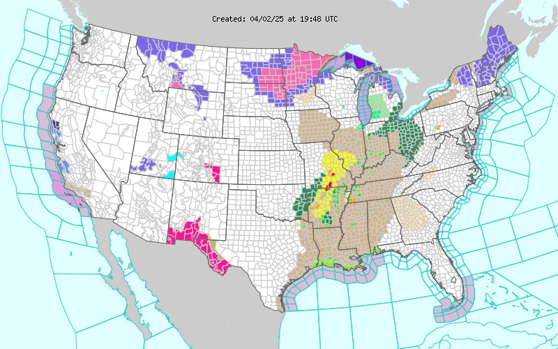
Current National Weather Service Watches/Warnings In Effect.

New Mexico

Chaves County Plains & Mtn's

Eddy County

Culberson County

Lea County

Lincoln County

Otero County

Current US Temps

Current US Wind Chill/Heat Index Temperatures

WPC 7-Day Precipitation Forecast

Roswell Live EarthCam

Ruidoso Live Webcam

Cloudcroft Live Webcam

NWS Midland 3-Day Precipitation Forecast

NWS Midland High End 3-Day Precipitation Forecast

NWS Midland 3-Day Precipitation Chances

New Mexico 3-Day Precipitation Forecast

New Mexico 3-Day High End Precipitation Forecast

New Mexico Precipitation Chances

NWS El Paso 3-Day Precipitation Forecast

NWS El Paso High End 3-Day Precipitation Forecast

NWS El Paso 3-Day Precipitation Chances

US 24-Hour Precipitation Forecast

US 24-Hour High End Precipitation Forecast

US 24-Hour High End Precipitation Forecast

US 3-Day Precipitation Forecast

US 3-Day High End Precipitation Forecast