Posts

NWS Albuquerque Burn Scar Threat Matrix

Yesterday Saw 70's & 80's In NM & AZ.

Image
Temperatures @ 3 PM MST Wednesday, February 10, 2016. NWS MesoWest Reported High Temps Wednesday. Yesterday's afternoon high temperatures were some 10-20 degrees above normal across the local area, and there was very little if any wind, it was hard to complain about our weather given that its the middle of February. Today's afternoon highs are forecast to be near 70°F. Compare this to the arctic onslaught currently invading the northern and northeastern areas of the nation. Temperatures @ 6 AM MST This Thursday, February 11, 2016. (-10°F To -30°F.) The Truth Is Stranger Than Fiction!

Current US Temps

Current US Wind Chill/Heat Index Temperatures

New Mexico Radar

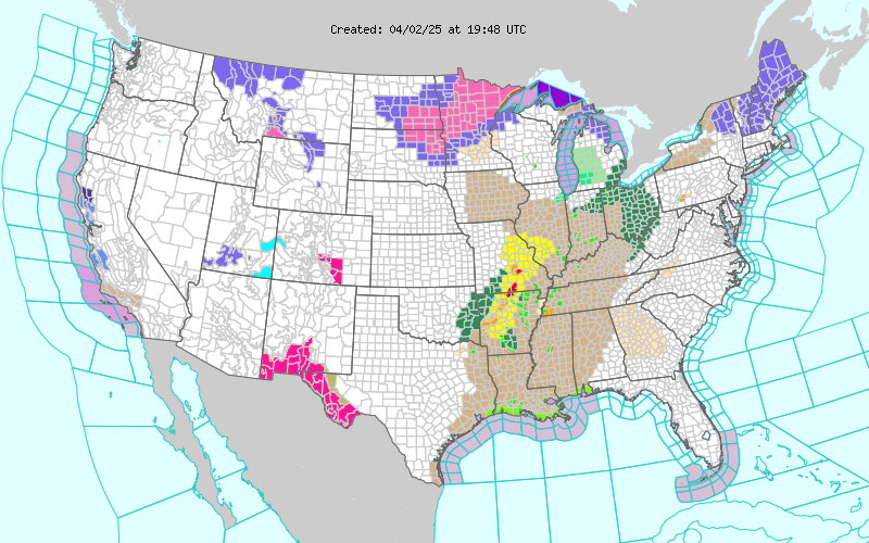
Current US Hazardous Weather Watch/Warning Map

New Mexico

Chaves County Plains & Mtn's

Eddy County

Culberson County

Lea County

Lincoln County

Otero County

Roswell Live EarthCam

Ruidoso Live Webcam

Cloudcroft Live Webcam

WPC 7-Day Precipitation Forecast

NWS Midland 3-Day Precipitation Forecast

NWS Midland High End 3-Day Precipitation Forecast

NWS Midland 3-Day Precipitation Chances

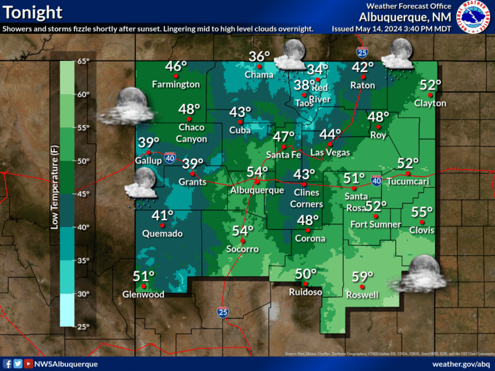
New Mexico 3-Day Precipitation Forecast

New Mexico 3-Day High End Precipitation Forecast

New Mexico Precipitation Chances

NWS El Paso 3-Day Precipitation Forecast

NWS El Paso High End 3-Day Precipitation Forecast

NWS El Paso 3-Day Precipitation Chances

US 24-Hour Precipitation Forecast

US 24-Hour High End Precipitation Forecast

US 24-Hour High End Precipitation Forecast

US 3-Day Precipitation Forecast

US 3-Day High End Precipitation Forecast