Posts

T-Storms & Virga In SE NM This Afternoon - Snowing In The Sac's.

Image
Virga Shafts @ 1:44 PM MST This Afternoon Southwest-West Of Carlsbad, New Mexico. Courtesy Of Ski Apache Web Cam @ 2:00 PM MST This Afternoon. COD RAP 500 MB/18,000' MSL Analysis @ Noon MST Today. Infrared Color Enhanced Satellite Image @ 12:15 PM MST This Afternoon. Intellicast Regional Radar Snapshot @ 1:23 PM MST Today. NWS Midland Dual Pol Radar Snapshot.  Using GRLevel3_2.00 Software  @ 1:16 PM MST This Afternoon. Cannon AFB Dual Pol Radar Snapshot.  Using GRLevel3_2.00 Software @ 1:21 PM MST This Afternoon. NWS El Paso/Santa Teresa Dual Pol Radar Snapshot.  Using GRLevel3_2.00 Software @ 1:29 PM MST This Afternoon. NWS 24-Hour Rainfall Totals @ Of 5 AM MST This Morning. 24-Hour Radar Estimated Rainfall Totals & Temps @ 2:00 PM MST This Afternoon. Lightning Strikes Over The Past 12-Hours As Of 2:15 PM MST This Afternoon. As of 1 PM MST this aft...

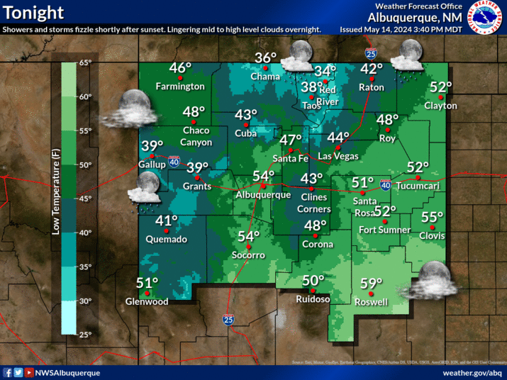
NWS Albuquerque Burn Scar Matrix

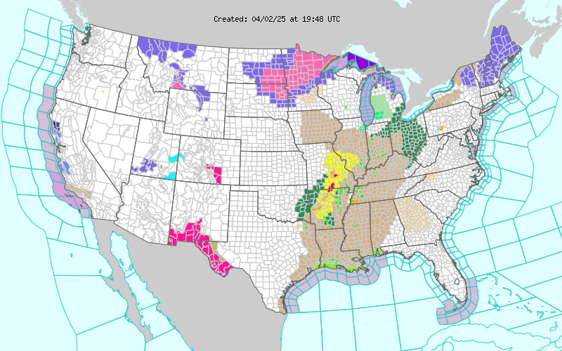
Current National Weather Service Watches/Warnings In Effect.

New Mexico

Chaves County Plains & Mtn's

Eddy County

Culberson County

Lea County

Lincoln County

Otero County

Current US Temps

Current US Wind Chill/Heat Index Temperatures

WPC 7-Day Precipitation Forecast

Roswell Live EarthCam

Ruidoso Live Webcam

Cloudcroft Live Webcam

NWS Midland 3-Day Precipitation Forecast

NWS Midland High End 3-Day Precipitation Forecast

NWS Midland 3-Day Precipitation Chances

New Mexico 3-Day Precipitation Forecast

New Mexico 3-Day High End Precipitation Forecast

New Mexico Precipitation Chances

NWS El Paso 3-Day Precipitation Forecast

NWS El Paso High End 3-Day Precipitation Forecast

NWS El Paso 3-Day Precipitation Chances

US 24-Hour Precipitation Forecast

US 24-Hour High End Precipitation Forecast

US 24-Hour High End Precipitation Forecast

US 3-Day Precipitation Forecast

US 3-Day High End Precipitation Forecast