Posts

NWS Albuquerque Burn Scar Threat Matrix

SNOW - SERIOUSLY ITS ALMOST MAY!

Image
"Good Grief" - Its Almost May - What Is This? NWS Winter Storm Warnings & Watches In Effect. (As Of 4:30 PM MDT Friday). Click On This Link For The Latest Updates. Radar Snapshots. Valid At 4:15 PM MDT Friday. Valid At 4:23 PM MDT Friday. Canadian (GEM) 500 MB (18,000' MSL) Forecast. Valid At Noon MDT Saturday. Simply put I think that the computer forecast models are out to lunch on this storm. Meaning that they are still all over the place with the track and timing of the strong cold closed upper level low that will settle in over New Mexico tonight into Sunday. Its model mayhem for sure and that just makes forecasting what its effects on the state and local area will be even more difficult. After 40 years of tracking upper level storms via hand analysis and model forecasting this one is proving to be quite the bear to handle. Given that its almost May and that this storm is very cold for this time of the year and tracki...

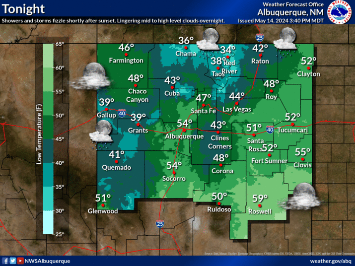
Current US Temps

Current US Wind Chill/Heat Index Temperatures

New Mexico Radar

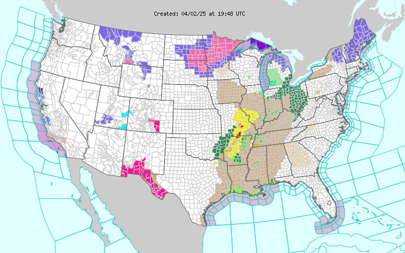
Current US Hazardous Weather Watch/Warning Map

New Mexico

Chaves County Plains & Mtn's

Eddy County

Culberson County

Lea County

Lincoln County

Otero County

Roswell Live EarthCam

Ruidoso Live Webcam

Cloudcroft Live Webcam

WPC 7-Day Precipitation Forecast

NWS Midland 3-Day Precipitation Forecast

NWS Midland High End 3-Day Precipitation Forecast

NWS Midland 3-Day Precipitation Chances

New Mexico 3-Day Precipitation Forecast

New Mexico 3-Day High End Precipitation Forecast

New Mexico Precipitation Chances

NWS El Paso 3-Day Precipitation Forecast

NWS El Paso High End 3-Day Precipitation Forecast

NWS El Paso 3-Day Precipitation Chances

US 24-Hour Precipitation Forecast

US 24-Hour High End Precipitation Forecast

US 24-Hour High End Precipitation Forecast

US 3-Day Precipitation Forecast

US 3-Day High End Precipitation Forecast