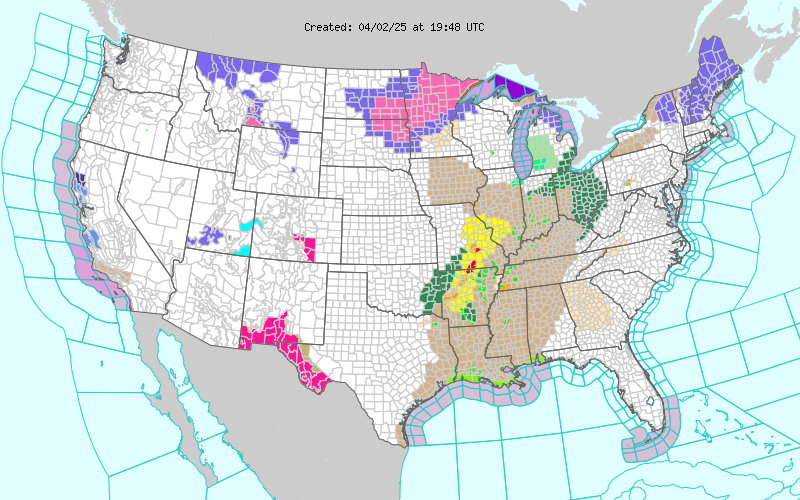
Severe Thunderstorms Today In New Mexico & West Texas.

NAM 500 MB Analysis. Valid At Midnight Monday Night. Model forecasts indicate that our potent cut off upper level low to our southwest will begin lifting northeastward today into Wednesday. Distribustances rotating northeastward around the base of the low will help destabilize the atmosphere over the area this afternoon and evening. NWS Storm Prediction Center Severe Weather Outlook For Today. Severe thunderstorms are forecast over the area today. In fact severe thunderstorms may get an early start in Central and Northern New Mexico west of the Central Mountain chain later this morning. Some of these could be severe. See the NWS SPC discussion concerning this via this link . Large hail and damaging thunderstorm wind gusts will be the main threats early on. Later this afternoon and evening a more widespread and robust severe weather threat will exist east of the Central New Mexico Mountains eastward out onto the Northeastern, Eastern, and Southeastern Pl...


