Posts

Hope Coming For A Hot Parched Land!

Image
6-15-2018 Looking west at a developing rain shower near Queen Friday afternoon from US 62/180 south of Whites City. There is hope for a hot and parched land today into Sunday as remnant subtropical moisture from former Hurricane Bud overspreads the area. Locally heavy rains are forecast to occur along with the possibility of localized flash flooding. Of particular concern for flash flooding will be the burn scar areas in the Guadalupe, Sacramento, and Capitan Mountains.  2018 Year-To-Date Rainfall Totals. (January 1st - June 15th, 2018). June 1st -15th, 2018. Local Rainfall Totals. 2018 Year-To-Date Rainfall Totals. (January 1st - June 15th, 2018). Highest Recorded Temperatures So Far This Year. (January 1st - June 15th, 2018).  The Truth Is Stranger Than Fiction!

NWS Albuquerque Burn Scar Matrix

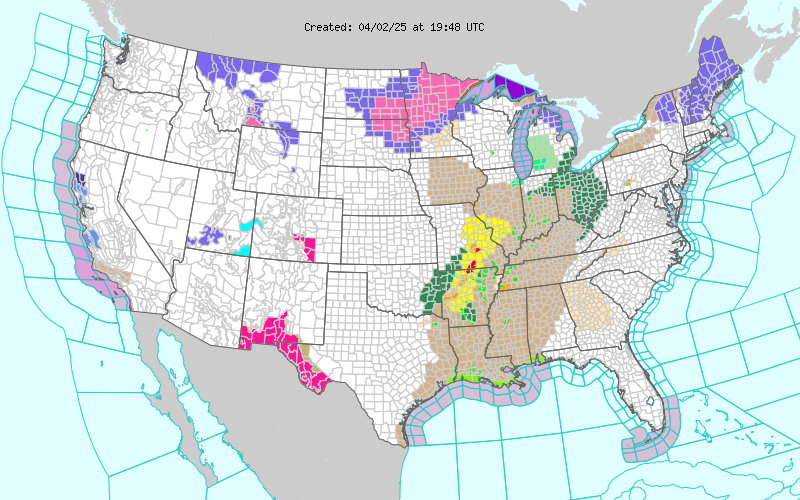
Current National Weather Service Watches/Warnings In Effect.

New Mexico

Chaves County Plains & Mtn's

Eddy County

Culberson County

Lea County

Lincoln County

Otero County

Current US Temps

Current US Wind Chill/Heat Index Temperatures

WPC 7-Day Precipitation Forecast

Roswell Live EarthCam

Ruidoso Live Webcam

Cloudcroft Live Webcam

NWS Midland 3-Day Precipitation Forecast

NWS Midland High End 3-Day Precipitation Forecast

NWS Midland 3-Day Precipitation Chances

New Mexico 3-Day Precipitation Forecast

New Mexico 3-Day High End Precipitation Forecast

New Mexico Precipitation Chances

NWS El Paso 3-Day Precipitation Forecast

NWS El Paso High End 3-Day Precipitation Forecast

NWS El Paso 3-Day Precipitation Chances

US 24-Hour Precipitation Forecast

US 24-Hour High End Precipitation Forecast

US 24-Hour High End Precipitation Forecast

US 3-Day Precipitation Forecast

US 3-Day High End Precipitation Forecast