Posts

My Wink/Kermit Texas Chase 5-4-2024.

Image
 May 4, 2024. Wink/Kermit, Texas 3:46 PM CDT. GRAnalysist2 Base Reflectivity (BR). NWS Midland Dual Pol (Sails) Doppler Radar. My Substack Channel Link. My YouTube Channel Link.                                     A Very Dusty Supercell. Blog Updated Monday, May 6, 2024. My third chase of the week found me leaving Carlsbad and headed towards Eunice, the south to Jal, Kermit, and finally Wink, Texas Saturday.  A strong cold front had sunk slowly southward through the southeastern Plains of New Mexico and West Texas overnight into the morning. Very gusty northeasterly winds accompanied the frontal passage. Areas of blowing dust and hazy overcast skies with low clouds were prevalent. This made it difficult to identify storm structure.  The Storm Prediction Center issued a Severe Thunderstorm Watch for Eddy and Lea Counties in southeastern New Mexico, as well as eastward across parts of ...

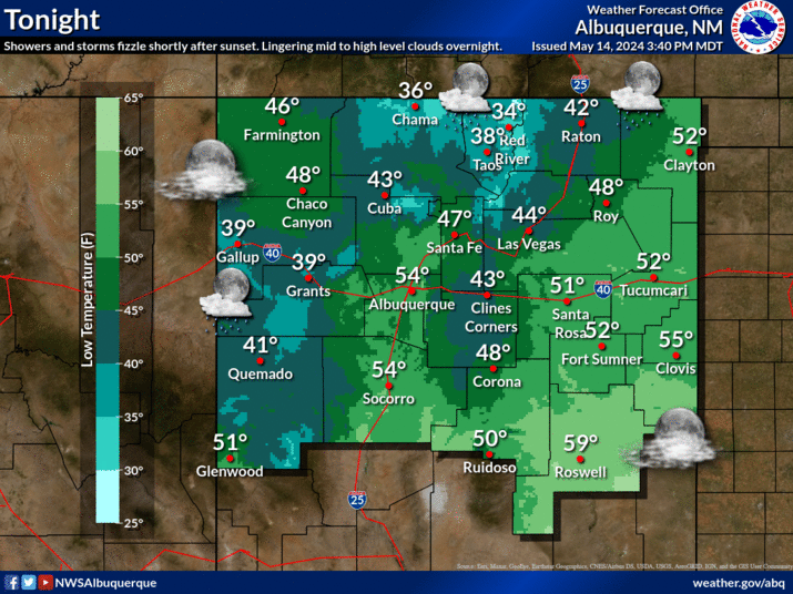
NWS Albuquerque Burn Scar Matrix

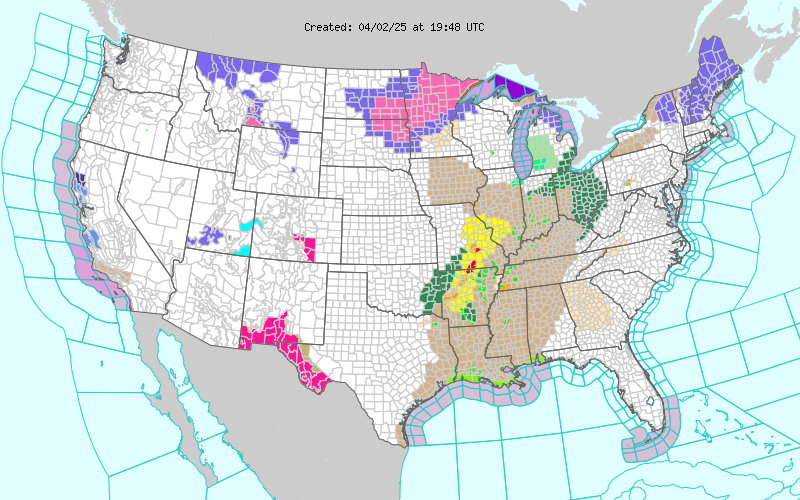
Current National Weather Service Watches/Warnings In Effect.

New Mexico

Chaves County Plains & Mtn's

Eddy County

Culberson County

Lea County

Lincoln County

Otero County

Current US Temps

Current US Wind Chill/Heat Index Temperatures

WPC 7-Day Precipitation Forecast

Roswell Live EarthCam

Ruidoso Live Webcam

Cloudcroft Live Webcam

NWS Midland 3-Day Precipitation Forecast

NWS Midland High End 3-Day Precipitation Forecast

NWS Midland 3-Day Precipitation Chances

New Mexico 3-Day Precipitation Forecast

New Mexico 3-Day High End Precipitation Forecast

New Mexico Precipitation Chances

NWS El Paso 3-Day Precipitation Forecast

NWS El Paso High End 3-Day Precipitation Forecast

NWS El Paso 3-Day Precipitation Chances

US 24-Hour Precipitation Forecast

US 24-Hour High End Precipitation Forecast

US 24-Hour High End Precipitation Forecast

US 3-Day Precipitation Forecast

US 3-Day High End Precipitation Forecast