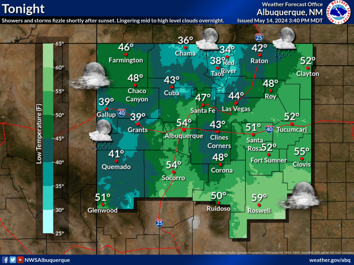
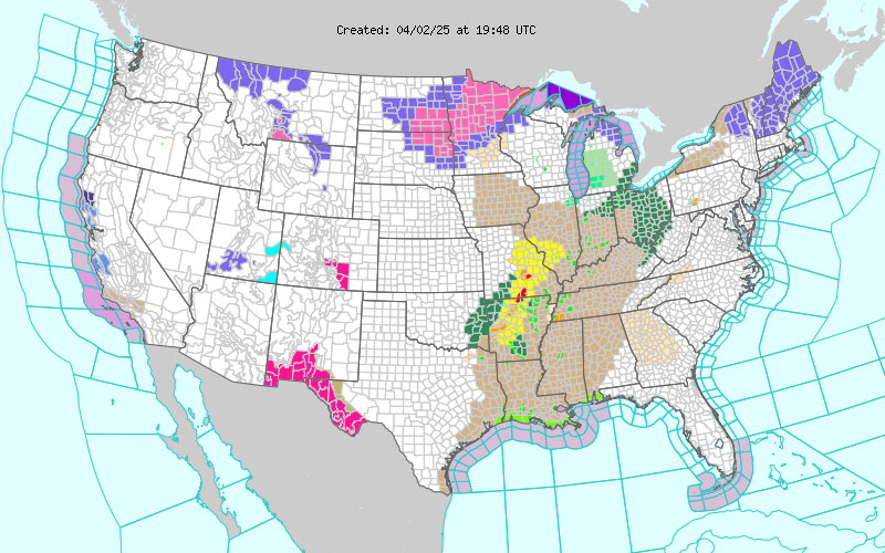
Good News & Bad News - Increasing Chance For T-Storms & Flash Flooding!

June 17, 2024. Heading West On Us Hwy 70. 20 Miles West Of Roswell, New Mexico. Smoke From The South Fork & Salt Fires In/Near Ruidoso, New Mexico. Updated at 11:26 AM MDT, Wednesday, June 19, 2024. My Substack Post - Ruidoso, New Mexico Forest Fires - Most Destructive In New Mexico's History! Surface Map Forecast. Valid At Noon MDT Wednesday. Weather Prediction Center (WPC)Total Rainfall Forecast. Water Vapor Satellite Image. (12:21 PM MDT Tuesday, June 18, 2024). National Hurricane Center (NHC) Update. NWS Midland Forecasts. NWS Albuquerque Forecasts. Tropical Storm Forming. A disturbance in the Bay of Campeche is forecast to strengthen and develop into a Tropical Storm within 24-hours. Then move generally to the northwest before moving more westward into Mexico south of, or near Brownsville, Texas Wednesday night into Thursday.. The remnant moisture from this Tropical Storm is forecast to get pulled northwestward into West Texas and New Mexico late this week into the ...


