Posts

Current Date & Time

Typical Summer Monsoon Pattern Underway.

Image
7-20-2020. Towering Cumulus Over The Guadalupe's. NWS MesoWest Reported 24-Hour Rainfall Totals. (And Radar/Satellite Estimated Rainfall Totals). Weather Underground Rainfall Totals. (As Of 9 PM MDT Monday Night). Summer T-Storms Over The Sacramento's.      Afternoon thunderstorms are firing up over the mountains around noontime each day now continuing until around sunset. This is the typical summer Monsoon pattern kicking in and is very welcomed. Moderate to occasionally heavy rainfall has fallen in a few spots. So far this month the Cloudcroft Climate Co-Op Station has recorded 2.56" of rainfall compared to average to date total of 3.68". So they are slowly catching up after a long hot dry spring and summer. Beneficial Rainfall This Week. NWS NDFD Forecast Rainfall Totals. Valid Today Through 6 AM MDT Friday. Weather Prediction Center (WPC) Rainfall Forecast.     Typical summertime weather is occurring now with a fairly decent monsoonal pattern established and...

My Blog Archive List (July 2010 - August 2025).

Show more

My Current Weather Conditions

Eddy County

Guadalupe Mtns Eddy & Culberson County

Lea County

NWS Midland Web Page

NWS Midland Web Page
Click On The Map To Open It Up

SE New Mexico & West Texas Precipitation Forecasts

NWS Midland Hazardous Weather Outlook

NWS Midland Hazardous Weather Outlook
Click On The Image To See The Rest Of The Outlooks

NWS Midland Hazardous Weather Outlook

NWS Midland Hazardous Weather Outlook
Click On The Image To See The Rest Of The Outlooks

NWS Midland Forecast Graphic

NWS Midland Forecast High Temperatures Today

NWS Midland Forecast Low Temperatures Tonight

New Mexico

Chaves County Plains & Mtn's

Lincoln County

NWS Albuquerque Web Page

NWS Albuquerque Web Page
Click On The Map To Open It Up

NWS Albuquerque New Mexico Precipitation Forecasts

NWS Albuquerque Hazardous Weather Outlook

NWS Albuquerque Hazardous Weather Outlook

NWS Albuquerque Forecast Graphics

NWS Albuquerque Forecast Grpahics

NWS Albuquerque Forecast High Temperatures Today

NWS Albuquerque Forecast Low Temperatures Tonight

Otero County

NWS El Paso Web Page

Southern New Mexico & Far West Texas Precipitation Forecasts

NWS El Paso Hazardous Weather Outlook

NWS El Paso Hazardous Weather Outlook
Click On The Image To See The Rest Of The Outlooks

NWS El Paso Hazardous Weather Outlook

NWS El Paso Hazardous Weather Outlook
Click On The Image To See The Rest Of The Outlooks

NWS El Paso Graphic Forecast

NWS El Paso Forecast Graphics

NWS El Paso Forecast High Temperatures Today

NWS El Paso Forecast Low Temperatures Tonight

Texas

NWS Lubbock Web Page

NWS Lubbock Web Page
Click On The Map To Open It Up

NWS Lubbock South Plains Precipitation Forecasts

NWS Lubbock Hazardous Weather Outlook

NWS Lubbock Hazardous Weather Outlook
Click On The Image To See The Rest Of The Outlooks

NWS Lubbock Hazardous Weather Outlook

NWS Lubbock Hazardous Weather Outlook
Click On The Image To See The Rest Of The Outlooks

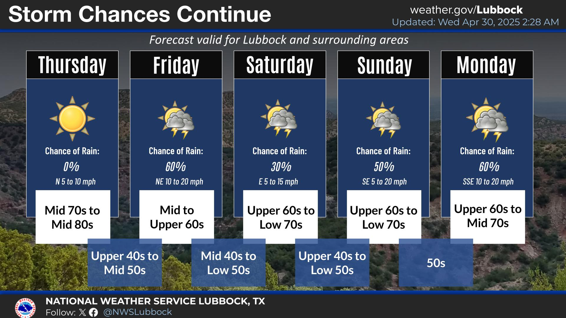
NWS Lubbock Graphic Forecast

NWS Lubbock Graphic Forecast

NWS Lubbock Graphic Forecast

NWS Lubbock Graphic Forecast

NWS Lubbock Graphic Forecast

NWS Lubbock Graphic Forecast

NWS Lubbock Hi Temperature Forecast Today

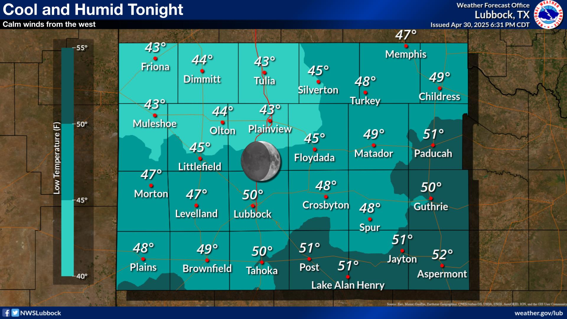
NWS Lubbock Low Temperature Forecast Tomight

Colorado

Arizona

My Rainfall Totals - 2.1 NNW Downtown Carlsbad

My Rainfall Totals - 2.1 NNW Downtown Carlsbad

My Seasonal Snowfall Totals - 2.1 NNW Downtown Carlsbad

My Seasonal Snowfall Totals - 2.1 NNW Downtown Carlsbad

Pageviews Since June 2010.

USA Weather Finder

Disclaimer

This blog and its contents are for informational purposes only! Always have multiple sources of information available to rely upon during severe weather. Do not rely solely on the Internet. Be weather-aware, plan ahead, have a backup plan, and be ready to act before severe weather strikes your location.