Posts

Showing posts from July, 2025

Uptick In T-Storms & Flash Flood Risks Today! - 1941 Wettest Year In NM.

Image
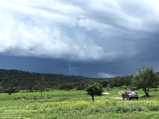
June 10, 2025... Ragged Base Of A Severe T-Storm. Junction Of US Hwy 285 & Lake Rd - Lakewood, NM.  More Typical Monsoon-Like Weather. New Mexico's weather is expected to become more monsoon-like over the coming week. The most favored areas for scattered to numerous rain showers and t-storms today will be across the northeastern plains, and the recent burn scar areas in the northern Sangre de Cristo, Sacramento, and Gila Mountains. This specifically includes the Hermits Peak/Calf Canyon, Ruidoso area, and the Trout fire burn scars.  A Flood Watch remains in effect for today for northeastern New Mexico, the Hermits Peak/Calf Canyon, and the Ruidoso burn scars. Heavy rainfall over these locations (or any other areas in the state) in a short period of time will cause rapid flash flooding, especially in normally dry arroyos, small streams and creeks, low-lying areas, and the burn scars. Keep your situational awareness of the weather high and be prepared to seek higher ground ...

Increasing Chances For T-Storms/Heavy Rainfall/Flash Flooding!

Image
June 29, 2025. West Of Hope, NM. Blog Update at 12:23 PM MDT, Friday, July 11, 2025.  Blog Updated at 1:12 PM MDT, Friday, July 11, 2025. Parts of northeastern New Mexico have been upgraded to a Slight Risk for severe thunderstorms this afternoon and evening. Parts of southeastern New Mexico have been upgraded for a Slight Chance of severe thunderstorms on Saturday.  Good News & Bad News! A Flood Watch is now in effect for Eddy, Lea, and Culberson Counties as well as much of West Texas from Saturday afternoon through early Sunday morning!  A Flood Watch is in effect for today through late tonight for parts of New Mexico, including Lincoln County! Both good news and bad news or on the horizon, as we once again enter a pattern change with our weather here in New Mexico. The good news is that we will cool down, and scattered thunderstorms and rain showers become increasingly more likely today into next week.  The bad news is that over the next week, the threat...

Record Flash Flooding In Ruidoso Claims Three Lives!

Image
July 7, 2025. Tornado 5 Miles West Of Queen, New Mexico. Courtesy Of Brandon Williams - Artesia, New Mexico. . Record Flash Flooding In Ruidoso Tuesday, July 8, 2025. Several rounds of thunderstorms dumped heavy rainfall in the Ruidoso area Tuesday afternoon, and this produced record flash flooding on the Rio Ruidoso River. Some homes and vehicles were flooded and swept away. Multiple high-water rescues were reported. Hardest hit were the South Fork and Salt Burn Scar areas.  Sadly, a man and two children, ages 4 and 7 , drowned when they were swept away in the river. Local officials reported 50-60 high-water rescues, with a few people taken to the hospital.  Thunderstorms dumped 1" to 3" of rain southwest through northwest of Ruidoso yesterday afternoon. This fell on top of the 3" to 5" that had fallen in the past three days. The Smokey Bear Raws has recorded 3.40" of rainfall in the past three days, and 3.62" since July 1st.  Since July 1st, the Ruidoso ...

Our Recent Wet Streak Is Ending.

Image
June 29, 2025. Just West Of Mayhill, NM.  Drought Busting Rains Coming To An End. My CoCoRaHS Rainfall 2025 Matrix. Blog Updated Saturday, July 5, 2025, At 11:35 AM MDT.  Blog Updated Sunday, July 6, 2025, At 9:23 AM MDT.  Happy Independence Day Everyone! Have A Safe And Wonderfull 4th Of July.  From Friday, June 20th through this morning (July 4th) I recorded 3.28" of rainfall here at our home in Carlsbad. The Carlsbad Airport ASOS measured 4.54" during the same period.  Other local heavier rainfall totals during this time frame include: Hope CoCoRaHS 25.9 SSW 10.66" Roswell CoCoRaHS 6.0 NNW 8.56" NW Roswell Weather Underground - Cotton Rd 8.15" South Roswell  Weather Underground - Sanlogic 7.55" NW Roswell  Weather Underground - 8 Mile Draw 7.22" Roswell CoCoRsHS 5.2 N 6.73" Southeast Roswell Weather Underground - Fox Farms 6.68" Riverside Weather Underground - Haines East of Artesia 6.62" Mayes Ranch Weather Underground - Southeast o...

NWS Albuquerque Burn Scar Matrix

Current National Weather Service Watches/Warnings In Effect.

New Mexico

Chaves County Plains & Mtn's

Eddy County

Culberson County

Lea County

Lincoln County

Otero County

Current US Temps

Current US Wind Chill/Heat Index Temperatures

WPC 7-Day Precipitation Forecast

Roswell Live EarthCam

Ruidoso Live Webcam

Cloudcroft Live Webcam

NWS Midland 3-Day Precipitation Forecast

NWS Midland High End 3-Day Precipitation Forecast

NWS Midland 3-Day Precipitation Chances

New Mexico 3-Day Precipitation Forecast

New Mexico 3-Day High End Precipitation Forecast

New Mexico Precipitation Chances

NWS El Paso 3-Day Precipitation Forecast

NWS El Paso High End 3-Day Precipitation Forecast

NWS El Paso 3-Day Precipitation Chances

US 24-Hour Precipitation Forecast

US 24-Hour High End Precipitation Forecast

US 24-Hour High End Precipitation Forecast

US 3-Day Precipitation Forecast

US 3-Day High End Precipitation Forecast