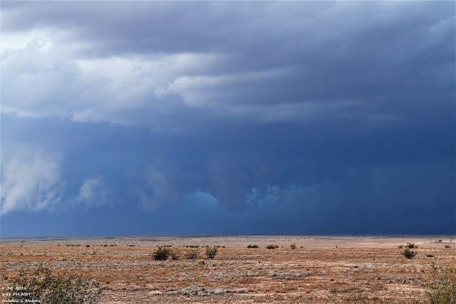
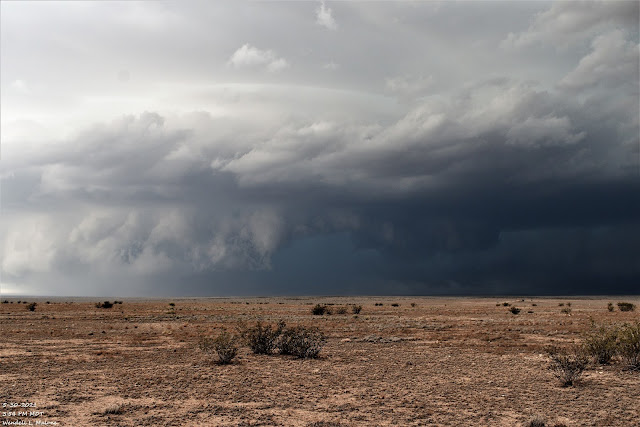
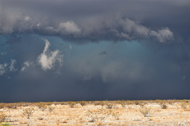
Chaves Co, NM Slow Right Moving Supercell - 5-30-2021.
As I was watching a brief multi-vortex tornado touch down directly to my northwest another storm chaser/spotter reported a tornado 10 miles southwest of Midway at 4:30 PM MDT. Several brief dust whirls appeared under that large ground-hugging rotating wall cloud I was watching. My Spotter Network report showed the time of my tornado report at 5:03 PM MDT. I had to re-locate further east along NM State Hwy 13 to get an internet signal...so there was a 30-minute delay in my report. The actual time of the touchdowns I observed should have been 4:27 PM MDT. This happens a lot in Eastern and Southeastern New Mexico where you don't always have an internet signal.
Cannon AFB GR2 Analyst Radar Snapshots.
Funnel Cloud.
A brief funnel cloud dropped down to my northwest. It lasted about a minute. It has been years since I have this type of color contrast within a storm of this magnitude. This supercell thunderstorm cycled multiple times with both shelf clouds and wall clouds visible at the same time. Scud clouds were numerous getting sucked up into the wall clouds too. Tail clouds came and went with the wall clouds but none were as stark in contrast as the one while the storm was in Lincoln County.
The Truth Is Stranger Than Fiction!


Comments
Post a Comment
Your comments, questions, and feedback on this post/web page are welcome.