


Summary Of The SE NM Severe Weather Outbreak Wednesday, Oct 21, 2015.
Hail Fell 2-3 Miles East Of Lake Arthur, NM on Wednesday, Oct 21, 2015.

This Hail Fell 2-3 Miles East Of Lake Arthur, NM on Wednesday, Oct 21, 2015.
A nasty Severe Thunderstorm rolled through the Artesia, Cottonwood, and Lake Arthur areas on the evening of Wednesday, October 21, 2015. Reports from the public indicated that hail was pea to quarter size in Artesia, as large as Tennis Balls in the Cottonwood area near Mill and Bolton Roads. Ping pong to golf ball size hail was reported in south Carlsbad. Wind damage was also noted in the Cottonwood area north of Artesia. 24-hour rainfall reports by the public in the Cottonwood and Lake Arthur areas ranged in the 2"-6" neighborhood.


This Hail And Flooding Occurred 2-3 Miles East Of Lake Arthur, NM on Wednesday, Oct 21, 2015.
Photos Are Courtesy Of Christi Sue & Melinda Marley Jackson Of Lake Arthur, NM.
Wind Damage In Cottonwood North Of Artesia, NM Wednesday, Oct 21, 2015.

This Was Thrown/Blown Over 100 Feet.


Photos Are Courtesy Of Carrie Greenwood Of Cottonwood North Of Artesia, NM.
Carlsbad, NM Hail.

Hail Fell 2 Miles South Of Downtown Carlsbad, NM (Hamilton & Old Cavern Hwy)
@ 7:40 PM MDT Wednesday, Oct 21, 2015. Courtesy Of Assia Lara Of Carlsbad, NM.
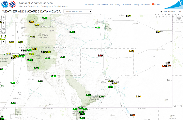
Radar Estimated Rainfall Reports.

 Midland NWS Doppler Radar Estimated Rainfall Totals.
1 & 3-Day Estimated Rainfall Totals.


1 & 3-Day Estimated Rainfall Totals.

As Of 6 AM MDT Thursday, Oct 22, 2015.

As Of 6 AM MDT Thursday, Oct 22, 2015.
Lightning Strike Summary.

24-Hour Lightning Strike Density Map As Of 9:45 AM MDT Thursday, October 22, 2015.


As Of 9 AM MDT Thursday, Oct 22, 2015.


Example: KCAO Is The Clayton, NM Airport ASOS.


The Truth Is Stranger Than Fiction!


Comments
Post a Comment
Your comments, questions, and feedback on this post/web page are welcome.