My Chase Of A Tornadic Supercell Southwest Of Lubbock - 6-6-2025.
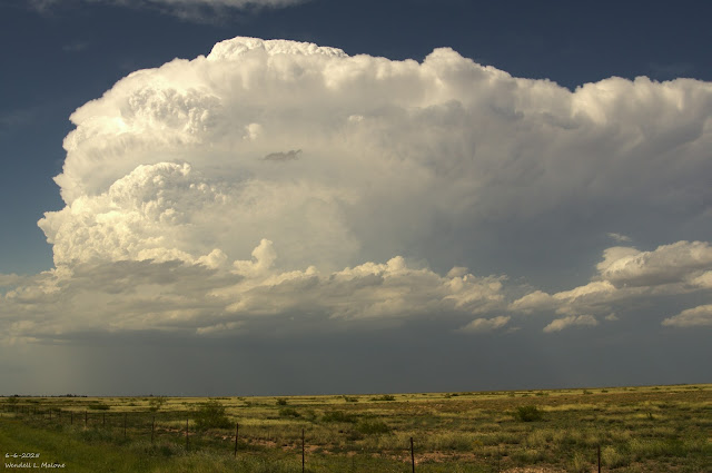
On Friday, June 6th, 2025, I head east from Artesia, NM, to Lovington on US Hwy 82. My first photo below was taken just west of Lovington. I turn north out of Lovington and head towards Tatum on St Rd 206. Then I go north on St Rd 125 until I hit the NM/TX state line southwest of Bledsoe, Texas. From there, I work my way southeast along a series of Farm to Market roads and end up west of Sundown in Hockley County.
I had been coming up from behind (to the south) of a developing supercell thunderstorm that first formed north of Tatum, then moved east into Cochran County. It quickly became a right mover once it entered Hockley County. I first encountered its developing wall cloud west of Sundown.
I don’t know how many storm chasers were on this storm, but it had to be in the dozens. I begin to watch a strong rotation in the wall cloud a couple of miles to the west of Sundown on Farm to Market Rd 301.
This rapidly rotating wall cloud produced a couple of brief dusty tornadoes at this location. A cloud-to-ground lightning strike hit right behind my truck right after I had just gotten back into it from taking photos of the rapidly rotating wall cloud on top of the Gas Plant. You can hear the crack of thunder and see the flash of white light in my video.
I kept walking this supercell to the southeast, eventually headed towards Needmore and Meadow, about 25 miles southwest of Lubbock. You can tell in my GoPro video that I was right next to the wall cloud and right under it most of the time. Too close, actually.
I got caught in the very edge of a dusty tornado just north of Needmore on St Hwy 385. That scared me, and I was racing southward to get out of the circulation. You can see the rapid rotation of the wall cloud, the rapid rising of the scud clouds, and the dust whirls in my video.
I managed to get far enough south to flip my truck around to the north and shoot a couple of photos and video of the dusty tornado as it crossed St Hwy 385 to my north.
I shot a couple of photos and video of a white tornado that was roping out between Needmore and Meadow. It’s hard to tell in the photos and video, but there was a dust circulation on the ground at the base of the funnel.
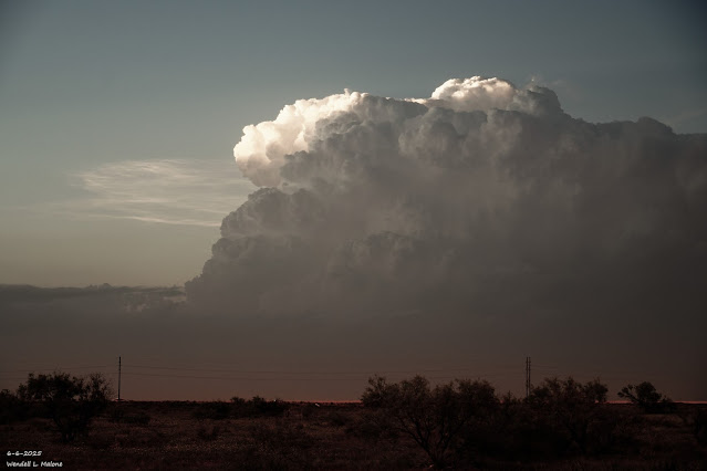
I continue east towards the New Home, Woodrow, and Wilson areas south of Lubbock, where I watched the wall cloud continue to rotate with dust whirls underneath it. Eventually, I turn back west and head home through Brownfield, where I shot several cool photos and video of a double knuckled back sheared anvil on the supercell, and some cool cumulonimbus mammatus (CBMAM).
This ended up being one of the best chases of my life and one of the scariest.


Comments
Post a Comment
Your comments, questions, and feedback on this post/web page are welcome.