Posts

Showing posts from January, 2023

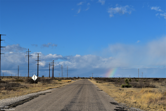
Significant Ice Storm For SE NM & West Texas?

Image
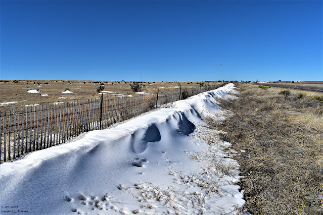
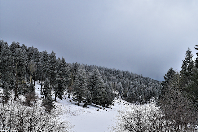
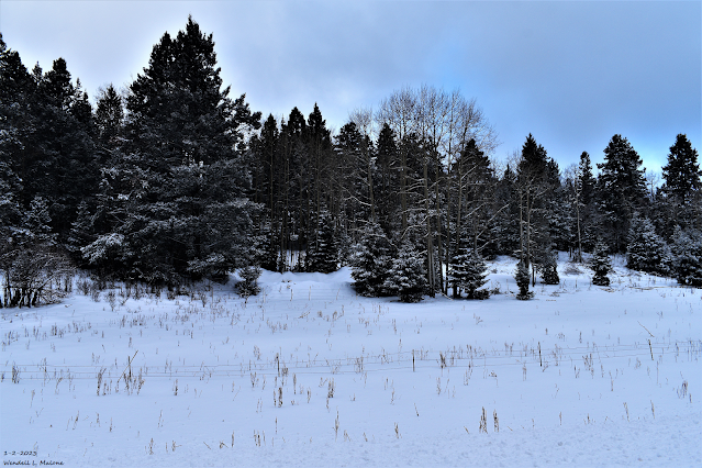
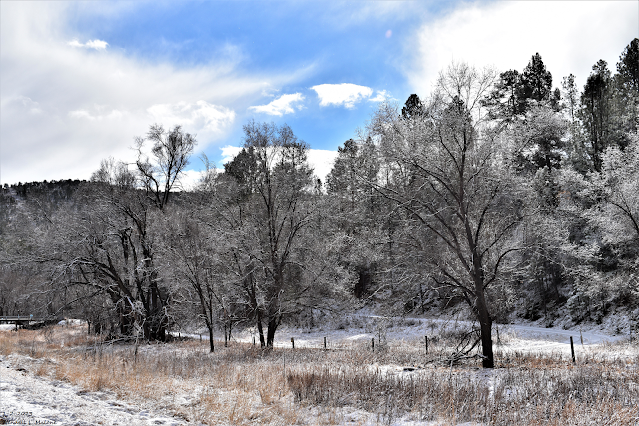
January 29, 2023. Vaughn, New Mexico. Snow drifts and patches still left over from a storm that across the area a week ago. These snow fences in the Vaughn area have been up for as long as I can remember. And that's at least fifty years. They were erected to help reduce the deep snow drifting that occurs in this area along the north-south orientated US Hwy 285. Strong westerly winds occurring after a storm create huge drifts that sometimes blocks traffic.  European (ECMWF) 500 MB (18,000' MSL) Analysis.

Downright Cold Morning Across Much Of New Mexico.

Image
1-24-2023 Carlsbad, NM. Reported Low Temperatures This Morning. NM NWS MesoWest Reports. Brrrr. The Angel Fire Airport ASOS reported a low temperature this morning of -31ºF which was the lowest in the nation . A number of local Personal Weather Stations (PWS) across the Sacramento mountains reported low temperatures in the single digits this morning. The Cloudcroft NWS Climate Co-Op Station reported a low of 2ºF. Selected Local Stations Below Zero This Morning. Hay Canyon PWS - Southeast of Cloudcroft -2ºF Pierce Canyon PWS - South of Cloudcroft - 3ºF Sacramento PWS - Mountain Maiden -4ºF NWS NDFD Forecast Low Temperatures Friday Morning. Tonight's  lows will be similar to last nights...perhaps a few degrees warmer in some mountain locations, and a few degrees colder across the Southeastern Plains. Wind chill temperatures in the Sacramento mountains tonight will range from near 0ºF to -6ºF . There Are None So Blind As Those Who "Will - Not" To See...107.

Storm Summary - Wednesday, January 25, 2023.

Image
1-24-2023. Dark Canyon Rd. Southwest Of Carlsbad, NM. NOHRSC 2-Day Snowfall Maps. (Monday - Tuesday Totals). New Mexico NWS 48-Hour Snowfall Totals. (Monday & Tuesday).

Very Strong Winter Storm/Widespread Snow - Some Heavy Tonight Into Tuesday.

Image
1-2-2023  Near Sunspot South Of Cloudcroft, NM. Visible Satellite Image. At 1:06 PM MST This Monday Afternoon. Water Vapor Satellite Image. At 1:06 PM MST This Monday Afternoon. Rap 500 MB (18,000' MSL) Analysis. Very Strong Winter Storm Continues Digging South Through Arizona. An intense closed mid/upper-level low was centered over south-central Arizona this afternoon. As per the Phoenix, Arizona NWS AFD the strength of this storm is near record levels. Looking at the visible and water vapor satellite images above it is easy to pick out the location of this low.  ECMWF 500 MB (18,000' MSL) Forecast.

Winter Storm Impacts The Region Monday Into Tuesday Night

Image
January 2, 2023. Sierra  Blanca Peak. US Hwy 70 East Of Mescalero Looking Northwest. Surface Map Forecast. Valid At 5 PM MST Monday. ECMWF SFC & Precipitation Type Forecast. Valid At 8 PM MST Monday Evening. Rap 500 MB (18,000') Analysis. Valid At 3 PM MST Sunday Afternoon. ECMWF 500 MB (18,000' MSL) Forecast.

One Winter Storm Leaves - Two More Headed Our Way.

Image
January 2, 2023. South Of Cloudcroft, NM. ECMWF 500 MB (18,000') Analysis. At 5 AM MST This Thursday Morning. ECMWF 500 MB (18,000') Forecast. Valid At 5 AM MST Saturday. Valid At 5 AM MST Monday. Valid At 5 AM MST Tuesday. Surface Map Forecast. Valid At 11 AM MST Friday. One Storm Departs - Two More Headed Our Way. Our current active parade of winter storm after winter storm is set to continue into the middle of next week. Our latest winter storm to dump snow on the state was centered over the center of the nation this morning. Storm number two which will impact mostly the western and northern sections of the state Friday into Sunday. Heavy snow is forecast for parts of the northern mountains and the northeastern plains where a  Winter Storm Watch  is in effect for Friday into Saturday. This storm isn't expected to impact our local weather much. Once again southwest to west winds will gust up into the 25-45 mph range locally Friday and Saturday especially over the Sacramen

Line Up The Winter Storms!

Image
January 2, 2023. Mayhill, New Mexico. Surface Map Forecast. Valid At 5 PM MST Today. GFS 500 MB Analysis. Valid At 5 AM MST This Tuesday Morning. GFS 500 MB Forecasts. Valid At 5 AM MST Wednesday Morning. Valid At 11 AM MST Saturday Morning. Storm after storm will be our weather theme for awhile. La Nina is dying and we are beginning to enter a neutral phase. The question is how long will we remain in the neutral phase before we transition into El Nino conditions...hopefully by this fall and next winter.  Anyway whenever the atmosphere undergoes a major pattern shift things get chaotic and crazy. We see this every year with seasonal changes and this current shift out of La Nina conditions will likely be stormy and unsettled into the spring. Computer forecast model mayhem rules as they struggle with the complicated and changing upper air pattern. NWS NDFD Snowfall Forecast.

Storm Summary Peak Wind Gusts Reported Sunday - Monday, January 16, 2023.

Image
12-28-2022. Looking East On US Hwy 70. Altocumulus Standing Lenticular Clouds (ACSL) West Of Roswell, NM. Reported Peak Wind Gusts Sunday. Bowl Raws located just N of Guadalupe Peak 77 mph. Guadalupe Pass ASOS 76 mph. 3 Cross PWS NE of Elk & N of Dunken 71 mph. Pine Springs W TX Mesonet 69 mph. Smokey Bear Raws located 1 mile NW of Ruidoso 66 mph. Buck Mtn PWS Near Ski Apache 65 mph. Bat Draw Raws - Carlsbad Caverns Visitor Center 64 mph. Pine Springs Raws - Guadalupe Mtn's Natl Park 62 mph. Sierra Blanca Regional Airport 62 mph. Artesia Airport AWOS 61 mph. Dunken Raws 60 mph. Seven Rivers - KOA Campground PWS 60 mph. Queen Raws 55 mph. Mayes Ranch PWS - SW of Whites City 55 mph. Tatum PWS 54 mph. Hagerman NMC26 54 mph. Mayhill PWS - W of Mayhill 52 mph. Seven Rivers NMCC (Located 2 miles NE of Lakewood) 52 mph. NM MesoWest Reported Peak Gusts Sunday.

Winter Is Back With Snow In The Mtns' - High Winds & Blowing Dust For The Plains.

Image
January 14, 2023. Sunrise Contrails Over Carlsbad, NM. Winter Storm #1 Today Into Monday. Surface Map Forecast. Valid At 5 PM MST Today. 3 Cross Davis PWS Peak Wind Gusts. As of 5 AM MST this Sunday morning the Personal Weather Station (PWS) 3 Cross located northeast of Elk, and north of Dunken, along the foothills of the Sacramento mountains had already clocked a peak gust to 71 mph. Strong southwesterly winds are already in progress at sunrise this Sunday morning. A few of the stronger gusts being reported included: 3 Cross PWS located northeast of Elk and north of Dunken 71 mph. The Smokey Bear Raws 1 mile northwest of Ruidoso 66 mph. The Bowl Raws located just north of Guadalupe Peak 63 mph. Sierra Blanca Regional Airport 59 mph. Pinery Raws In The Guadalupe Mtn's Natl Park 55 mph. The Dunken Raws located west of Hope 55 mph. Guadalupe Pass 44 mph. Winter Weather Advisories In Effect Today:

A Change In The Storm Track Will Bring Winter Back.

Image
January 11, 2023. Hagerman, New Mexico. ECMWF 500 MB (18,000') Analysis. Valid At 5 AM MST This Friday Morning. ECMWF 500 MB (18,000') Forecast. Valid At 5 PM MST Sunday, January 15, 2023. ECMWF 500 MB (18,000') Forecast. Valid At 5 AM MST Wednesday, January 18, 2023. ECMWF 500 MB (18,000') Forecast. Valid At 5 AM MST Friday, January 20, 2023. Surface Map Forecast. Valid At 5 PM MST Sunday. A Change In The Storm Track Will Bring Winter Back.

Peak Wind Reports - Wednesday January 11, 2023.

Image
January 2, 2023.  Small Rainbow - Cottonwood, NM. Blog Updated At 1:13 PM MST Thursday, January 12, 2023. NWS MesoWest Reported Peak Wind Gusts. (Wednesday, January 11, 2023.) Davis WeatherLink Station - 3 Cross Peak Wind Gust. (Wednesday, January 11, 2023.) Peak Gust Wednesday Morning 67 MPH. Cloudcroft Communication Tower Damaged. A peak wind gust of 73 mph was recorded at the Pine Springs Mesonet Station located in the Guadalupe Mountains National Park. The Queen Raws reported a peak gust to 64 mph and the Carlsbad Airport 53 mph.  NWS Albuquerque Reported Peak Wind Gusts Wednesday. Public Information Statement National Weather Service Albuquerque NM 315 PM MST Wed Jan 11 2023 ...HIGHEST WIND REPORTS... Location Speed Time/Date ...New Mexico... ...Bernalillo County... I-40 Sedillo Hill (NMDOT) 44 MPH 1035 AM 01/11 Albuquerque Intl Sunport 41 MPH 1145 AM 01/11 ...Chaves County... Dunken 2 NE (Dunken) 59 MPH 1136 AM 01/11 Bitter La

Our Next Fast Moving Winter Storm Will Be A Wind Bag.

Image
January 2, 2023. White Pine Road. Seven Rivers, NM. GFS 500 Millibar (18,000') Forecast. Valid At 11 AM MST Wednesday, Jan 11th. Surface Map Forecast. Valid At 5 AM MST Wednesday, Jan 11th. Our Next Fast Moving Winter Storm Will Be A Wind Bag.

Current NWS National Watches/Warnings In Effect

Current NWS National Watches/Warnings In Effect
Click On The Map For The Latest Updates

New Mexico

Chaves County Plains & Mtn's

Eddy County

Culberson County

Lea County

Lincoln County

Otero County

Current Watches In Effect

SPC Mesoscale Discussions

Storm Prediction Center (SPC) Day 1 Outlook

NWS Regional Radar

NWS Regional Radar

NWS Midland Radar

Cannon AFB Radar

NWS Albuquerque Radar

Holloman AFB Radar

NWS El Paso Radar

NWS Lubbock Radar

GOES-East - Sector view: Southern Rockies - GEOColor

Current US Temps

Current US Wind Chill/Heat Index Temperatures

NWS Midland Regional Forecast

NWS Midland Regional Forecast

NWS Midland Regional Forecast

NWS Albuquerque Regional Forecast

NWS Albuquerque Regional Forecast

NWS Albuquerque Regional Forecast

NWS Albuquerque Regional Forecast

NWS Albuquerque Regional Forecast

NWS Albuquerque Regional Forecast

NWS Albuquerque Regional Forecast

NWS Albuquerque Regional Forecast

NWS El Paso Regional Forecast

NWS El Paso Regional Forecast

NWS Lubbock Regional Forecast.

NWS Lubbock Regional Forecasts

NWS Lubbock Regional Forecast

NWS Lubbock Regional Forecast

NWS Forecast High Temps Today

NWS Forecast Low Temps Tonight

24-Hour Minimum Wind Chill Forecast

NWS Albuquerque Storm Total Snowfall Forecast

NWS Albuquerque Storm Total Rainfall Forecast

NWS Midland Storm Total Rainfall Forecast

NWS El Paso Storm Total Rainfall Forecast

Average Daily High/Low Temperatures & Rainfall

Average Daily High/Low Temperatures & Rainfall