Posts

Showing posts from 2021

Major Winter Storm Bearing Down On New Mexico!

Image
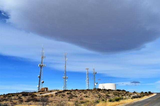
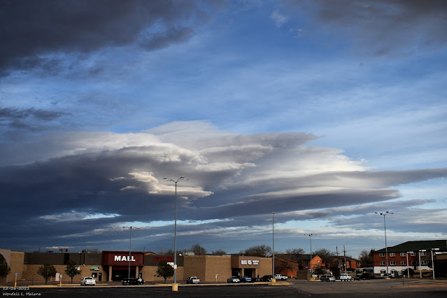
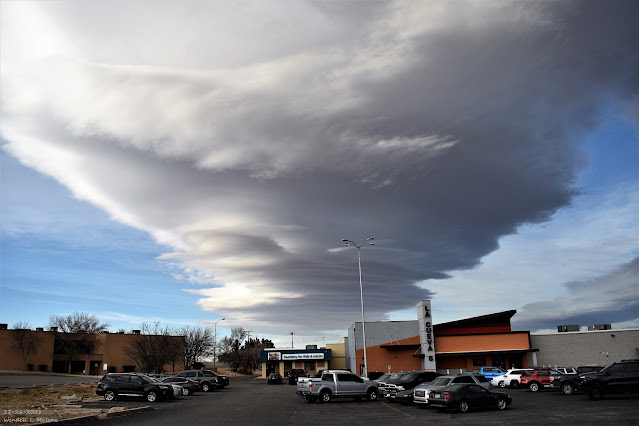
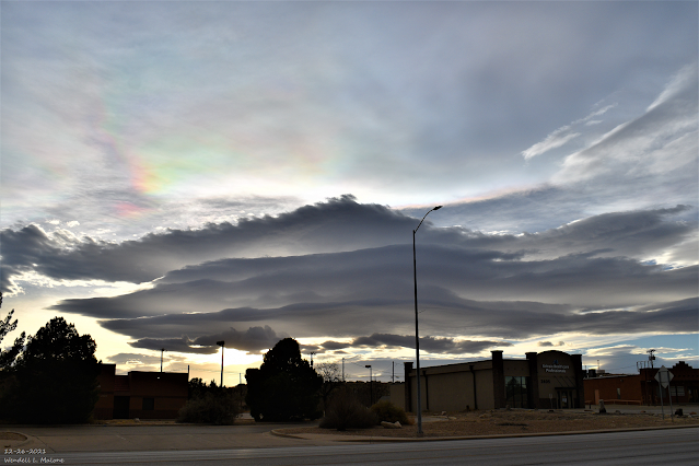
December 26, 2021. Carlsbad, New Mexico. Stacked Altocumulus Standing Lenticular Clouds. Winter Storm Warnings & Winter Weather Advisories Cover Much Of New Mexico This New Year's Eve Morning! Latest Satellite Images. GeoColor Image. ( At 9:26 AM MST This Morning). IR Image. ( At 8:36 AM MST This Morning). RAP 500 MB (18,000') Analysis. (At 8 AM MST This New Year's Eve Morning). Near Record Amounts Of Mid-Level Moisture Headed Our Way. For a couple of days now I've been talking about the closed low located just west of the Baja Region this morning. The map above shows the 500 MB (18,000') low (Red L), the mid-level moisture plume (blue colors), the pressure isobars (equal lines of pressure), and the 18,000' winds at 8 AM MST. Looking at the GeoColor and IR satellite images above clearly shows this deep subtropical moisture fetch be pulled northeastward into New Mexico and nearby areas by the southwesterly 50-70 knot or 58-81 mph winds. Local Radar Snapshots.

Major Winter Storm Still On Track To Hammer New Mexico - Especially The Mountains

Image
December 26, 2021. Carlsbad, New Mexico. Stacked Altocumulus Standing Lenticular Clouds. Still On Track For A Major Winter Storm! GFS 500 MB (18,000') Analysis. (At 11 AM MST Thursday). GFS 500 MB (18,000') Forecast. (Valid At 11 AM MST Friday). GFS 500 MB (18,000') Forecast. (Valid At 5 PM MST New Year's Day). Just as I mentioned in yesterday's blog the computer forecast models are slowing our incoming winter storm down a little bit. This morning's 11 AM MST run of the U.S. GFS model is also digging the long-wave trough of low pressure a tad further south on New Year's Day. All this means is that the arrival of the coldest air across our local area won't occur until late Friday afternoon and evening. And with a slower-moving storm, the potential for heavier rainfall and snowfall is reasonable. Overall we may end up with a slower and stronger storm than what has been forecast the past couple of days. The models still forecast an abundant fetch of mid-lev

First Significant/Major Winter Storm Of The Season Just In Time For The New Year's Holiday Weekend!

Image
December 26, 2021. Carlsbad, New Mexico. Stacked Altocumulus Standing Lenticular Clouds. F irst Significant/Major Winter Storm Of The Season Just In Time For The New Year's Holiday Weekend! European (ECMWF) 500 MB (18,000') Analysis. ( At 11 AM MST This Wed Dec 29, 2021). European (ECMWF) 500 MB (18,000') Forecast. ( Valid At 11 PM MST Thursday, Dec 30, 2021). European (ECMWF) 500 MB (18,000') Forecast. ( Valid At 5 AM MST New Year's Day, Jan 1, 2022). For those of you who have been reading my weather blog posts for a while now know that most of the time I start out by looking at the mid-upper levels of the atmosphere. This generally means from about 10,000' up through about 40,000'. Because this is where most storms form. I usually pick the 500 millibar level or the 18,000' level like depicted in the maps above because this is roughly halfway up into our atmosphere. The jet stream generally resides between about 18,000' to 40,000'. Give or take

Major Winter Storm For New Year's Eve & New Year's Day?

Image
December 26, 2021. Carlsbad, New Mexico. Stacked Altocumulus Standing Lenticular Clouds. My Time Lapse Video Of Altocumulus Standing Lenticular Clouds.  Over Carlsbad, NM  Sunday, December 26, 2021). A Winter Storm To Usher In New Year's? Canadian (GEM) 500 Millibar (18,000' MSL) Forecast. Valid At 5 AM MST New Year's Morning. All of the forecast models are in pretty good agreement this Tuesday morning concerning the strength, location, and movement of a long-wave 500 millibar long-wave trough of low pressure that will swing across the state and region New Year's Eve into New Year's evening. It is still early so there may be some changes in the trajectory, and strength of this storm in the forecast models before it arrives. Surface Map Frontal Positions & High-Temperature Anomaly Forecasts. A colder airmass will move into the state and region behind a frontal passage on New Year's Day. After seeing weeks of highs locally in the 70's to near 80 in the low

Christmas Eve & Christmas Day 2021 Weather Summary & Climatology.

Image
December 23, 2021. Carlsbad, New Mexico. Mountain Wave Clouds (Altocumulus Standing Lenticular Clouds). Regional Reported High Temps Christmas Eve. Regional Reported Low Temps Christmas Morning. Regional Reported High Temps Christmas Day. Regional Peak Wind Gusts Reported Christmas Eve. Once again the Carlsbad ASOS wind equipment which is the Automated Surface Weather Observing Station located at the Carlsbad Airport failed Christmas Eve afternoon for a time. Thus the peak wind reported is way too low. Especially since the equipment at nearby Carlsbad Caverns measured a peak gust to 58 mph and the Queen Raws measured a peak gust to 62 mph. Regional Peak Wind Gusts Reported Christmas. (As Of 4 PM MST Christmas Afternoon). SE NM CoCoRaHSD 48-Hour Rainfall Totals. Record Heat Christmas Eve. NWS Albuquerque @NWSAlbuquerque · 16h While the mountains received some snow, portions of eastern NM set record highs this Christmas eve! You get a little bit of everything around here. #nmwx NWS El Pa

Current Watches In Effect

Storm Prediction Center (SPC) Day 1 Severe Weather Outlook

SPC Mesoscale Discussions

Current NWS National Watches/Warnings In Effect

Current NWS National Watches/Warnings In Effect
Click On The Map For The Latest Updates

New Mexico

NWS Regional Radar

NWS Regional Radar

GOES-East - Sector view: Southern Rockies - GEOColor

Current US Temps

Current US Wind Chill/Heat Index Temperatures

NWS Midland Radar

NWS Midland Regional Forecast

NWS Midland Regional Forecast

NWS Midland Regional Forecast

Cannon AFB Radar

NWS Albuquerque Radar

NWS Albuquerque Regional Forecast

NWS Albuquerque Regional Forecast

NWS Albuquerque Regional Forecast

NWS Albuquerque Regional Forecast

Holloman AFB Radar

NWS El Paso Radar

NWS El Paso Regional Forecast

NWS Lubbock Radar

NWS Lubbock Regional Forecast.

NWS Lubbock Regional Forecast

NWS Lubbock Regional Forecasts

NWS Lubbock Regional Forecast

NWS Forecast High Temps Today

NWS Forecast Low Temps Tonight

24-Hour Minimum Wind Chill Forecast

NWS Albuquerque Storm Total Snowfall Forecast

NWS Albuquerque Storm Total Rainfall Forecast

NWS Midland Storm Total Rainfall Forecast

NWS El Paso Storm Total Rainfall Forecast

Average Daily High/Low Temperatures & Rainfall

Average Daily High/Low Temperatures & Rainfall