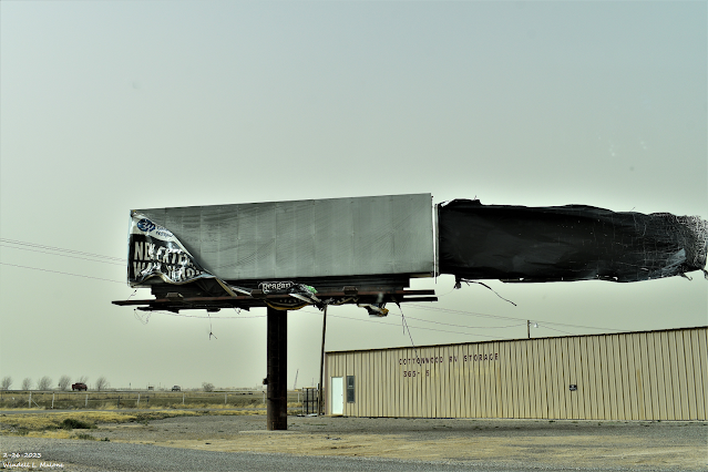
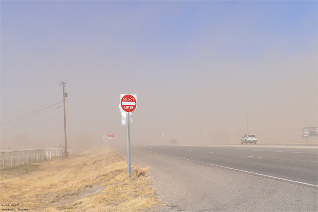
We Can't Catch A Break - Another Round Of High Winds & Blowing Dust!
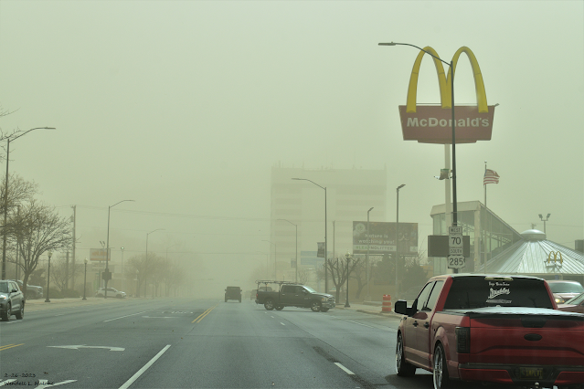
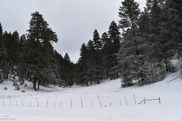
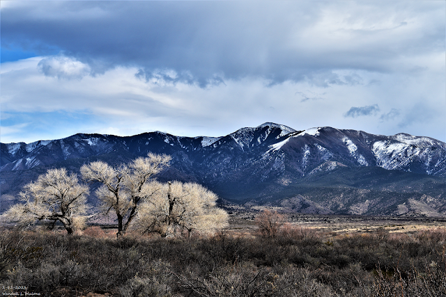
February 26, 2023 Downtown Roswell, New Mexico. Surface Map Forecast. Valid At 5 PM MST Thursday Afternoon. We Can't Catch A Break - Another Round Of High Winds & Blowing Dust! Like a broken record we can't turn off another significant high wind and widespread blowing dust event is shaping up for Thursday. Although this one currently does not look to be as severe and widespread as this past Sunday's blow down, it may be close in some areas. Strong winds will once again rake parts of the state today, with somewhat of a break on Wednesday, then another bad day Thursday. For the record (not that you want to hear this) in strong La Nina Springs, our windy season often starts in February and sometimes lasts into June or close to the 4th of July. We are on track for that pattern this year. Our next potent winter storm will begin affecting the western half of New Mexico with snow over the mountains. A Winter Storm Watch is in effect for parts of the southwestern, western and...