


Severe Weather In NM - Sunday, June 3, 2018.

EL PASO, Texas (KFOX14/CBS4) — A damaged windshield forced an American Airlines plane to land in El Paso Sunday evening.American Airlines Flight 1897 from San Antonio to Phoenix made an emergency landing at El Paso International Airport around 8 p.m. Sunday night.
Radio communication obtained by KFOX14/CBS4 between the pilot and the tower shows hail damaged the windshield on Airbus A319.
“The hail has beat up our forward windshields pretty badly for American Airlines 1897. At this time, we don’t have a whole lot of forward visibility,” said the pilot over the radio.
Flight 1897 had left San Antonio just before 7 p.m. Sunday and had been in the air for about two hours before making its emergency landing at El Paso International Airport.Flight tracking, courtesy of FlightAware, showed the plane circling around the airport three times before landing.
The aircraft suffered hail damage to its nose and windshield.El Paso, Dona Ana, Otero, Sierra and Hudspeth counties were under a severe thunderstorm watch until 9 p.m. Sunday.
The flight was on its way to Phoenix, carrying 130 passengers and a crew of five, according to the airline.No injuries were reported.Passengers boarded another plane around 11:45 p.m. to get to Phoenix, said an airline official.An inspection was expected to be conducted on the damaged Airbus.
LSR: 16 ENE Loving [Eddy Co, NM] public reports HAIL of tennis ball size (M2.50 INCH) at 03 Jun, 08:50 PM CDT... https://t.co/dOc8dzYZ1x— NWS Midland (@NWSMidland) June 4, 2018
LSR: 6 SW Carlsbad [Eddy Co, NM] asos reports TSTM WND GST of M60 MPH at 08:11 PM CDT (1911 mdt report) https://t.co/pUAvGF4euv— NWS Midland (@NWSMidland) June 4, 2018
LSR: Pine Springs [Culberson Co, TX] mesonet reports TSTM WND GST of M65 MPH at 08:52 PM CDT (reported at the... https://t.co/7gF38GKLFh— NWS Midland (@NWSMidland) June 4, 2018
LSR: 2 N Pine Springs [Culberson Co, TX] mesonet reports TSTM WND GST of M77.00 MPH at 08:38 PM CDT (reported... https://t.co/IHzRfDbK4D— NWS Midland (@NWSMidland) June 4, 2018
LSR: 20 W Eunice [Lea Co, NM] public reports TSTM WND GST of E74.00 MPH at 03 Jun, 10:00 PM CDT (davis vantag... https://t.co/iDImLeuZVu— NWS Midland (@NWSMidland) June 4, 2018
#GOES16 Visible/Infrared "Sandwich" product showing the convection over NM & TX yesterday, which #AA1897 flew through and experienced hail damage https://t.co/N5uM1LiuxW #nmwx #txwx pic.twitter.com/N3cLLak1tW— Scott Bachmeier (@CIMSS_Satellite) June 4, 2018
If #AA1897 flew through/near this rapidly-developing storm in SE New Mexico, 1-minute #GOES16 imagery revealed a pulsing updraft with a -80ºC cloud top temperature right before it produced 2.50 inch hail on the ground https://t.co/jawBk8nd6F #nmwx pic.twitter.com/hPtvnKaalH— Scott Bachmeier (@CIMSS_Satellite) June 4, 2018
Here is an animation showing two mesoscale convective complexes (#MCS) merging in Texas last night June 4, 2018. The V-shaped notch shown in our previous post is the MCS on the right, which continued to move west and collided with a larger MCS coming from the west. pic.twitter.com/DYxlUzQarQ— NWS WPC (@NWSWPC) June 4, 2018
Follow the (terrifying) track of American Airlines Flight 1897 dodging destructive hail storms before a forced landing at El Paso #Texas on June 4th. Path mapped on #GOESEast/#GOES16 imagery by @UWSSEC colleague Rick Kohrs. #AA1897 pic.twitter.com/b4grNpIh6M— UW-Madison CIMSS (@UWCIMSS) June 5, 2018
#GOESEast satellite captured multiple powerful thunderstorms over #Texas in the early hours of yesterday morning, or as the @NWSWPC would say, multiple mesoscale convective complexes with storm tops near 65,000 feet! More infrared satellite imagery: https://t.co/P1F11zXUHI pic.twitter.com/ucGJvtIw8N— NOAA Satellites (@NOAASatellites) June 5, 2018
Wild Night In SE NM & West Texas.
(Blog Updated 5:30 AM MDT Wednesday, June 6, 2018).
The pilot clearly was struggling trying to deviate around those severe thunderstorms. Radar tops on those storms rose up to 65,000' and the storm east of Loving had a temperature of -80ºC or -112ºF as is was dropping tennis ball size hail on St Hwy 128.
Another infrared satellite loop shows the merger of the MCS that moved out of Southeastern New Mexico into West Texas with a MCS over South-Central Texas.
Storm Prediction Center Severe Weather Reports.
(Times Are In MDT).


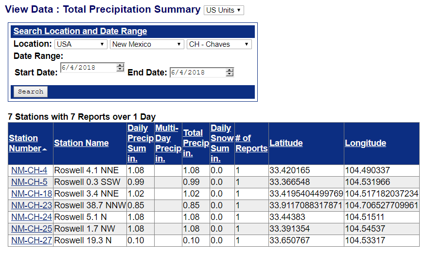
24-Hour Radar Estimated Rainfall Totals.


Radar Estimated 3" - 5" Of Rainfall East Of Loving.
This May Be A Little To High Due To Hail Contamination.
Cannon AFB Radar Using GRLevel3 Software.


Damage West Of Hagerman In Chaves County.


The Hagerman area (especially West of Hagerman off Sage Brush Valley Road) was hit hard by the storm last night. There are several people that are in need of assistance in recovery from damage to their homes and property. The emergency respond team from Red Cross has been activated and is helping assists several families. We could use help from anyone willing to assist. Two families homes were completely destroyed. Several RVs were flipped on their sides or upside down. The clean up for the families will be difficult and assistance would be greatly appreciated. We will help attempt to organize a clean up. The families have lost the majority of their belongings and little to nothing could be recovered from the two homes. Donations would be greatly appreciated along with any help cleaning up or repairing damages. If anyone is interested please contact the Hagerman Police Department and we will attempt to organize a fundraiser and or clean up to help this community. Unfortunately several families did not have insurance so they will not get anything replaced. I will get a list and post tomorrow of who could use what assistance with repairs and a list of needs from the families.
The Truth Is Stranger Than Fiction!


Comments
Post a Comment
Your comments, questions, and feedback on this post/web page are welcome.